


Forêts Bucey en Othe

FPortier
Utilisateur
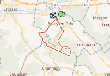

Longueur
11,3 km

Altitude max
248 m

Dénivelé positif
204 m
Km-Effort
14,1 km

Altitude min
159 m

Dénivelé négatif
206 m
Boucle
Oui
Date de création :
2024-04-16 07:10:49.418
Dernière modification :
2024-04-16 12:00:59.494
3h17
Difficulté : Difficile

Application GPS de randonnée GRATUITE
 SityTrail
IGN / Instituts géographiques
SityTrail Plus
Le monde est à vous
À propos
Randonnée Marche de 11,3 km à découvrir à Grand Est, Aube, Bucey-en-Othe. Cette randonnée est proposée par FPortier.
Description
Randonnée Bucey en Othe
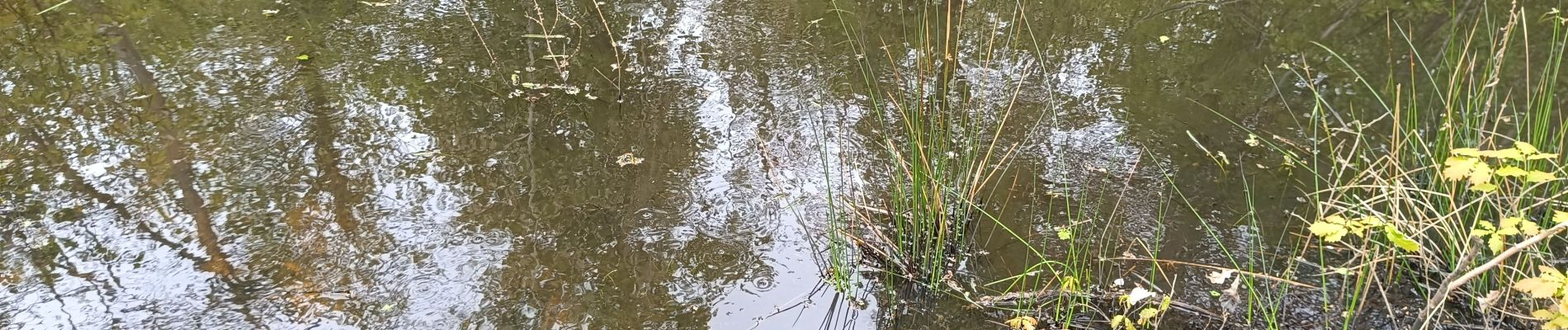
Photos

Localisation
Pays :
France
Région :
Grand Est
Département/Province :
Aube
Commune :
Bucey-en-Othe
Localité :
Unknown
Départ:(Dec)
Départ:(UTM)
563814 ; 5345680 (31U) N.
Commentaires