


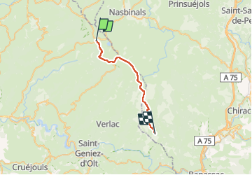

23 km | 30 km-effort

Utilisateur GUIDE


Application GPS de randonnée GRATUITE
 SityTrail
IGN / Instituts géographiques
SityTrail World
Le monde est à vous
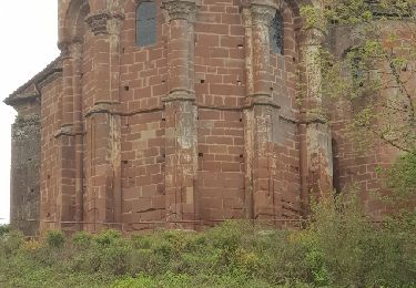
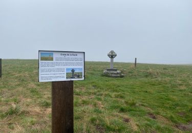
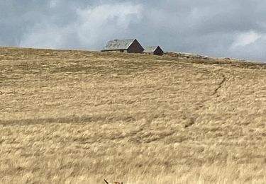
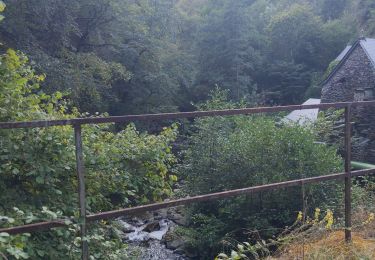
Randonnée Marche de 24 km à découvrir à Occitanie, Aveyron, Saint-Chély-d'Aubrac. Cette randonnée est proposée par nadinebondoux.
par la liaison à Aubrac, puis Trélans


Marche
Marche
A pied
Marche
Marche


sport

Marche
Marche
Marche