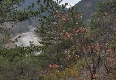
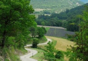
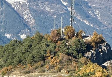
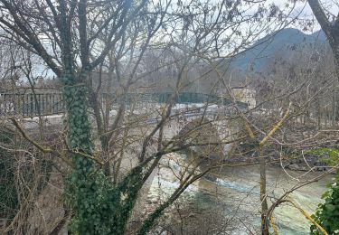
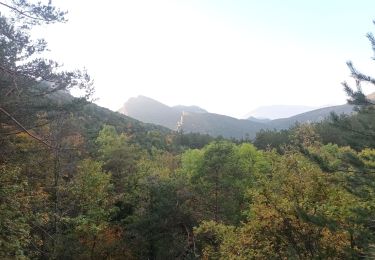
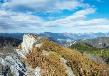
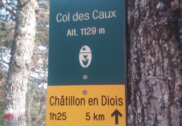
Randonnée Autre activité Die - Balade Vercors - Photo
 angeoff
angeoff

Utilisateur

© OpenStreetMap contributors
Longueur
Longueur
203 km
Altitude max
Altitude max
1443 m
Dénivelé positif
Dénivelé positif
5611 m
Km-Effort
Km-Effort  
278 km
Altitude min
Altitude min
214 m
Dénivelé négatif
Dénivelé négatif
5676 m
Boucle
Boucle
Non
Date de création :
2015-04-26 00:00:00.0
Dernière modification :
2015-04-26 00:00:00.0

(0 Avis)

Autre activité
Autre activité
--
Difficulté : Inconnu

Scannez ce code QR pour ouvrir la randonnée dans l'application SityTrail

Application GPS de randonnée GRATUITE

Logo SityTrail SityTrail

IGN / Instituts géographiques

Télécharger SityTrail sur l'App Store Télécharger SityTrail sur Google Play

Logo SityTrail SityTrail World

Le monde est à vous

Télécharger SityTrail sur l'App Store Télécharger SityTrail sur Google Play Télécharger SityTrail sur Huawei AppGallery

À propos

Randonnée Autre activité de 203 km à découvrir à Auvergne-Rhône-Alpes, Drôme, Die. Cette randonnée est proposée par angeoff.

Profil altimétrique

Points d'intérêt

Point d'intérêt Die - 001 - Photo
angeoff
DIE 
Point d'intérêt Die - 002 - Photo
angeoff
DIE 
Point d'intérêt Die - 003 - Photo
angeoff
DIE 
Point d'intérêt Die - 004 - Photo
angeoff
DIE 
Point d'intérêt Die - 005 - Photo
angeoff
DIE 
Point d'intérêt Saint-Agnan-en-Vercors - 006 - Photo
angeoff
SAINT-AGNAN-EN-VERCORS 
Point d'intérêt Saint-Agnan-en-Vercors - 007 - Photo
angeoff
SAINT-AGNAN-EN-VERCORS 
Point d'intérêt Vassieux-en-Vercors - 008 - Photo
angeoff
VASSIEUX-EN-VERCORS 
Point d'intérêt Vassieux-en-Vercors - 009 - Photo
angeoff
VASSIEUX-EN-VERCORS 
Point d'intérêt Saint-Jean-en-Royans - 010 - Photo
angeoff
SAINT-JEAN-EN-ROYANS 
Point d'intérêt Saint-Laurent-en-Royans - 011 - Photo
angeoff
SAINT-LAURENT-EN-ROYANS 
Point d'intérêt Saint-Laurent-en-Royans - 012 - Photo
angeoff
SAINT-LAURENT-EN-ROYANS 
Point d'intérêt Saint-Laurent-en-Royans - 013 - Photo
angeoff
SAINT-LAURENT-EN-ROYANS 
Point d'intérêt Saint-Laurent-en-Royans - 014 - Photo
angeoff
SAINT-LAURENT-EN-ROYANS 
Point d'intérêt Pont-en-Royans - 015 - Photo
angeoff
PONT-EN-ROYANS 
Point d'intérêt Villard-de-Lans - 016 - Photo
angeoff
VILLARD-DE-LANS 
Point d'intérêt Autrans-Méaudre en Vercors - 017 - Photo
angeoff
AUTRANS-MÉAUDRE EN VERCORS 
Point d'intérêt Autrans-Méaudre en Vercors - 018 - Photo
angeoff
AUTRANS-MÉAUDRE EN VERCORS 
Point d'intérêt Lans-en-Vercors - 019 - Photo
angeoff
LANS-EN-VERCORS 
Point d'intérêt Villard-de-Lans - 020 - Photo
angeoff
VILLARD-DE-LANS 
Point d'intérêt Villard-de-Lans - 021 - Photo
angeoff
VILLARD-DE-LANS 
Point d'intérêt Villard-de-Lans - 022 - Photo
angeoff
VILLARD-DE-LANS 
Point d'intérêt Rencurel - 023 - Photo
angeoff
RENCUREL 
Point d'intérêt Saint-Martin-en-Vercors - 024 - Photo
angeoff
SAINT-MARTIN-EN-VERCORS 
Point d'intérêt La Chapelle-en-Vercors - 025 - Photo
angeoff
LA CHAPELLE-EN-VERCORS 
Point d'intérêt Saint-Agnan-en-Vercors - 026 - Photo
angeoff
SAINT-AGNAN-EN-VERCORS 
Point d'intérêt Die - 027 - Photo
angeoff
DIE 
Point d'intérêt Die - 028 - Photo
angeoff
DIE 
Point d'intérêt Sainte-Croix - 029 - Photo
angeoff
SAINTE-CROIX 

Localisation

Pays :
France
Région :
Auvergne-Rhône-Alpes
Département/Province :
Drôme
Commune :
Die
Localité :
Unknown
Départ:(Dec)
Départ:(UTM)
687673 ; 4958203 (31T) N.

Randonnées à proximité

Randonnée Marche nordique Ponet-et-Saint-Auban - 20/12/2015 Pierre plats  - Photo
Marche nordique
fiorano

Marche nordique

Facile
(1)
Ponet-et-Saint-Auban, Auvergne-Rhône-Alpes, Drôme, France
6,9 km | 11,1 km-effort
1h 46min
Oui
Randonnée V.T.T. Chamaloc - Chamaloc - Hauteurs de Die - Photo
V.T.T.
tracegps

V.T.T.

Difficile
(1)
Chamaloc, Auvergne-Rhône-Alpes, Drôme, France
36 km | 50 km-effort
3h 0min
Oui
Randonnée Marche Die - Chapia Belle Justine - Photo
Marche
patbt

Marche

Moyen
(1)
Die, Auvergne-Rhône-Alpes, Drôme, France
10,7 km | 17,1 km-effort
3h 47min
Oui
Randonnée sport Die - Croix de Justin , Ausson  - Photo
sport
alinetpierre

sport

Très facile
Die, Auvergne-Rhône-Alpes, Drôme, France
14,7 km | 24 km-effort
Inconnu
Oui
Randonnée Marche Die - Autour de Die balade - Photo
Marche
jll7513

Marche

Facile
Die, Auvergne-Rhône-Alpes, Drôme, France
8,9 km | 11,7 km-effort
1h 56min
Oui
Randonnée Marche Die - Tour Abbaye Val Croissant - Photo
Marche
Thierry0032

Marche

Difficile
Die, Auvergne-Rhône-Alpes, Drôme, France
11,5 km | 18,9 km-effort
1h 58min
Non
Randonnée Marche Die - 26 belle justine - Photo
Marche
himba26100

Marche

Moyen
Die, Auvergne-Rhône-Alpes, Drôme, France
14,1 km | 24 km-effort
7h 18min
Non
Randonnée Marche Die - la Belle Justine ( rando Asptt)  - Photo
Marche
TOULAUDIN

Marche

Moyen
Die, Auvergne-Rhône-Alpes, Drôme, France
14,8 km | 24 km-effort
5h 36min
Oui
Randonnée Marche Die - Abbaye Val croissant - Chatillon en diois - Photo
Marche
Atchoum26

Marche

Facile
Die, Auvergne-Rhône-Alpes, Drôme, France
13,5 km | 25 km-effort
6h 26min
Non


Fermer
Mes abonnements