


4,4 km | 5,9 km-effort

Utilisateur


Application GPS de randonnée GRATUITE
 SityTrail
IGN / Instituts géographiques
SityTrail World
Le monde est à vous
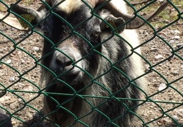
Randonnée Marche de 7,1 km à découvrir à Provence-Alpes-Côte d'Azur, Alpes-Maritimes, Roquebrune-Cap-Martin. Cette randonnée est proposée par Orcal37.
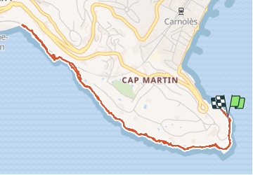
Roquebrune-Cap-Martin - du Cap Martin à Massolin AR - 7.1km 145m 2h15 (0h25) - 2015 06 15
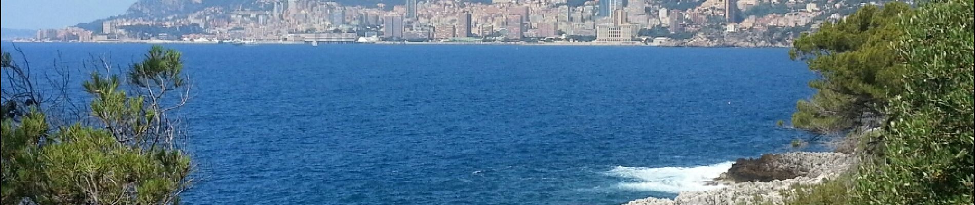
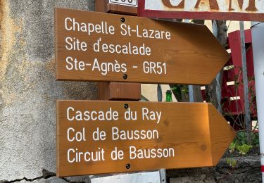
 - 2015 06 15 - Photo 1")
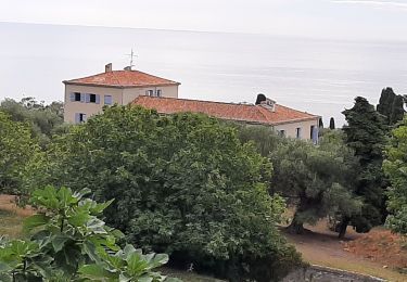
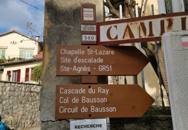
 - 2015 06 15 - Photo 2")
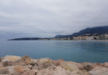
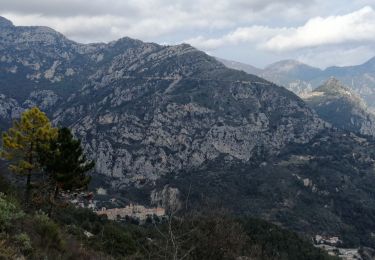
 - 2015 06 15 - Photo 3")
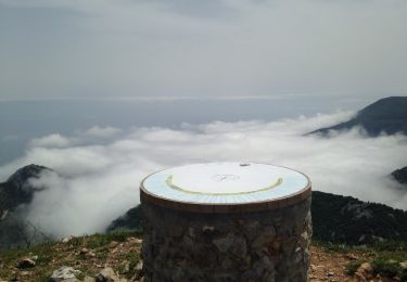
 - 2015 06 15 - Photo 4")

Marche
Marche
Marche
Marche
Marche
Marche
Marche
Course à pied
Marche