


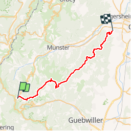


16,8 km | 27 km-effort


Utilisateur


Application GPS de randonnée GRATUITE
 SityTrail
IGN / Instituts géographiques
SityTrail World
Le monde est à vous
Randonnée V.T.T. de 38 km à découvrir à Grand Est, Haut-Rhin, Metzeral. Cette randonnée est proposée par sit68000.
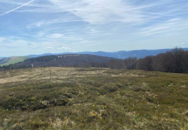
Longue descente depuis les crêtes jusqu'au vignoble.
Départ de Wintzenheim le dimanche à 8h30 avec le bus de la navette des crêtes (uniquement en juillet-août et sur réservation).
Arrivée au Breitfirst vers 9h30.
Descente vers le Petit Ballon avec détour à la ferme-auberge du Rothenbrunnen vers 11h30 (attention, bonne remontée pour revenir sur le parcours).
Direction Col du Boenlesgrab. Repas à l'auberge du Boenlesgrab vers 13h. Poursuite vers le Col de Firstplan jusqu'au Col de Marbach.
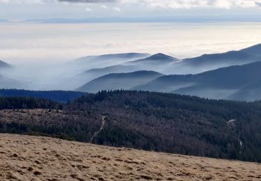
En option, pour la belle vue : Montée au Stauffen. Attention, c'est un sentier difficile. la montée de 200m se fait à pied.
Sinon, contourner la montagne sur la droite en direction du refuge du Stauffenmatt.
Direction le chateau du Hohlandsbourg (montée courte mais difficile). Possibilité de contourner par la route.
Descente finale jusqu'à Wintzenheim.
Marche

Marche

Marche

Marche
Marche

A pied
Marche

Marche
Marche