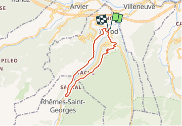


4,8 km | 10,7 km-effort


Utilisateur


Application GPS de randonnée GRATUITE
 SityTrail
IGN / Instituts géographiques
SityTrail World
Le monde est à vous
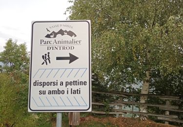
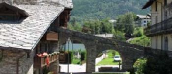
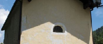
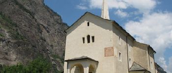
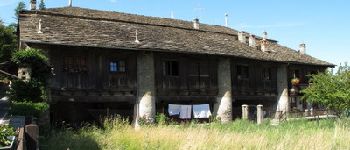
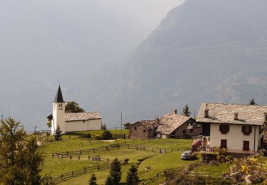
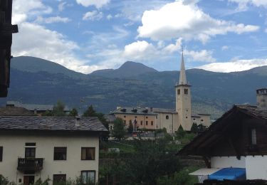
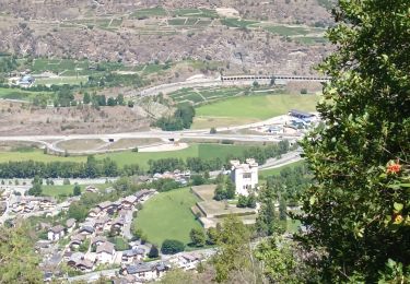
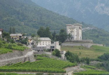
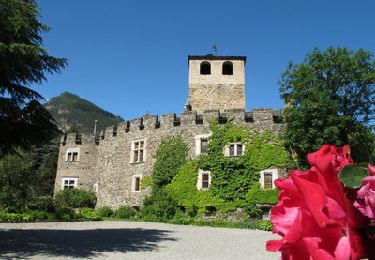
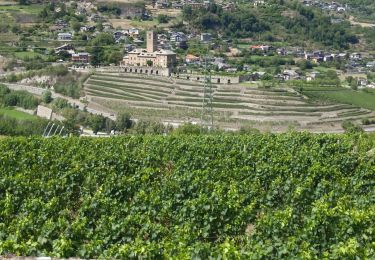
Randonnée Marche de 11,1 km à découvrir à Vallée d'Aoste, Inconnu, Introd. Cette randonnée est proposée par alberto26.


A pied
A pied
Marche
Marche
Marche
Marche
Marche