


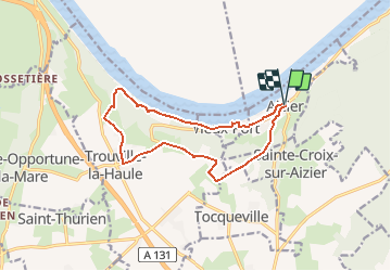

14,6 km | 18,6 km-effort


Utilisateur


Application GPS de randonnée GRATUITE
 SityTrail
IGN / Instituts géographiques
SityTrail World
Le monde est à vous
Randonnée Marche de 12,2 km à découvrir à Normandie, Eure, Aizier. Cette randonnée est proposée par randovivi.
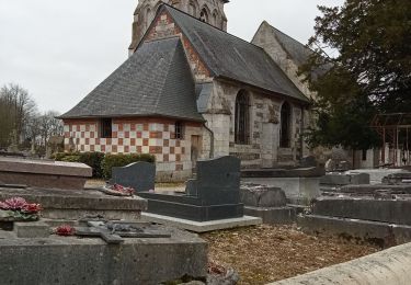
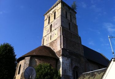
Départ de l'église St. Pierre. Chapelle St. Thomas de Canterbury à Aizier

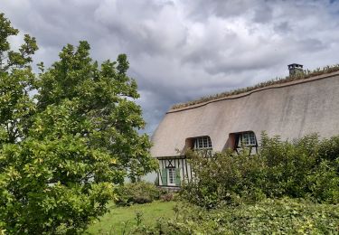
Marche
Marche
Marche
Marche
Marche
Marche

Marche
Marche
Marche
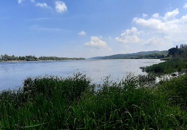
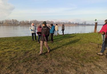
chemin supprimé le long de la Seine falaise dangereuse obligé de reprendre la route
Trop bien