Randonnée Marche Yvoir - Yvoir SI n°1 - Photo
 pjjrevrard
pjjrevrard

Utilisateur

© OpenStreetMap contributors
Longueur
Longueur
9,6 km
Altitude max
Altitude max
288 m
Dénivelé positif
Dénivelé positif
252 m
Km-Effort
Km-Effort  
13 km
Altitude min
Altitude min
87 m
Dénivelé négatif
Dénivelé négatif
252 m
Boucle
Boucle
Oui
Date de création :
2016-03-09 00:00:00.0
Dernière modification :
2016-03-09 00:00:00.0

(0 Avis)

Marche
Marche
2h47
Difficulté : Facile

Scannez ce code QR pour ouvrir la randonnée dans l'application SityTrail

Application GPS de randonnée GRATUITE

Logo SityTrail SityTrail

IGN / Instituts géographiques

Télécharger SityTrail sur l'App Store Télécharger SityTrail sur Google Play

Logo SityTrail SityTrail World

Le monde est à vous

Télécharger SityTrail sur l'App Store Télécharger SityTrail sur Google Play Télécharger SityTrail sur Huawei AppGallery

À propos

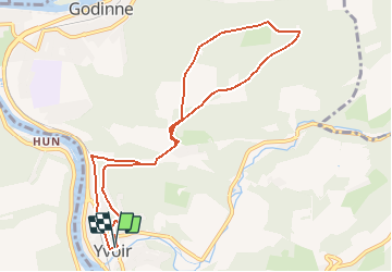
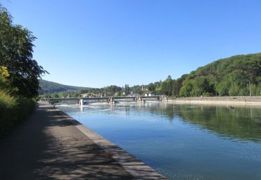
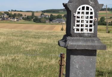
Randonnée Marche de 9,6 km à découvrir à Wallonie, Namur, Yvoir. Cette randonnée est proposée par pjjrevrard.

Profil altimétrique

Photos

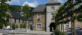
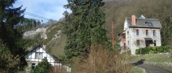
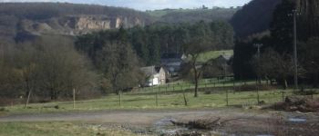
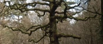
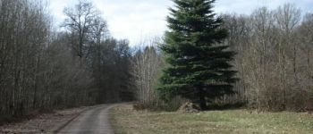
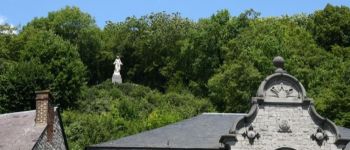
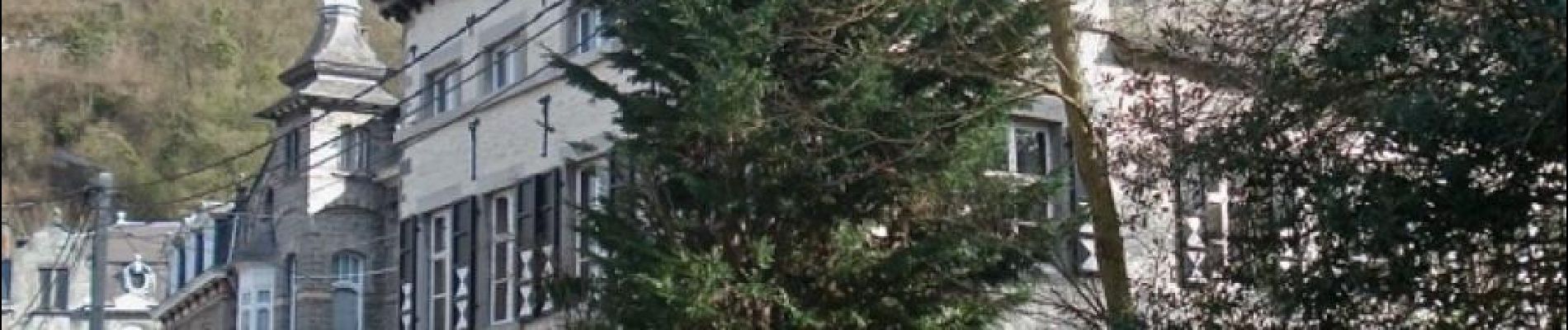
22 photos au total. Cliquez sur une photo pour les afficher toutes dans la galerie.

Points d'intérêt

Point d'intérêt Yvoir - Yvoir - Photo
pjjrevrard
YVOIR 
Point d'intérêt Yvoir - Vers Fidevoye - Photo
pjjrevrard
Point d'intérêt Yvoir - Fidevoye - Photo
pjjrevrard
YVOIR 
Point d'intérêt Yvoir - Route de Tricointe - Photo
pjjrevrard
Point d'intérêt Yvoir - Carrefour - Photo
pjjrevrard
YVOIR 
Point d'intérêt Yvoir - Tricointe - Photo
pjjrevrard
YVOIR 
Point d'intérêt Yvoir - Chêne à l'Image - Photo
pjjrevrard
Point d'intérêt Yvoir - Maison Forestière - Photo
pjjrevrard
Point d'intérêt Yvoir - Allée du Lairbois - Photo
pjjrevrard
Point d'intérêt Yvoir - Château de Bouvignes - Photo
pjjrevrard

Localisation

Pays :
Belgique
Région :
Wallonie
Département/Province :
Namur
Commune :
Yvoir
Localité :
Yvoir
Départ:(Dec)
Départ:(UTM)
633688 ; 5576601 (31U) N.

Randonnées à proximité

Randonnée Marche Profondeville - RL-GG-19_Lustin_Namur - Photo
Marche
PRO

Marche

Très difficile
(12)
Profondeville, Wallonie, Namur, Belgique
22 km | 28 km-effort
6h 7min
Non
Randonnée Marche Yvoir - RB-Na-21_Mont - Photo
Marche
PRO

Marche

Très difficile
(6)
Yvoir, Wallonie, Namur, Belgique
22 km | 30 km-effort
6h 51min
Oui
Randonnée Marche Yvoir - RB-Na-03_Houx - Photo
Marche
PRO

Marche

Difficile
(10)
Yvoir, Wallonie, Namur, Belgique
22 km | 30 km-effort
7h 1min
Oui
Randonnée Marche Yvoir - RL-GG-38_Godinne_Dinant - Photo
Marche
PRO

Marche

Très difficile
(6)
Yvoir, Wallonie, Namur, Belgique
19,5 km | 27 km-effort
6h 13min
Non
Randonnée Marche Anhée - RF-Na-05 Annevoie, côté Jardins_Grande-boucle - Photo
Marche
PRO

Marche

Moyen
(11)
Anhée, Wallonie, Namur, Belgique
11,3 km | 14,5 km-effort
3h 6min
Oui
Randonnée Marche Anhée - RF-Na-05 Annevoie, côté Jardins_Petite-boucle - Photo
Marche
PRO

Marche

Facile
(7)
Anhée, Wallonie, Namur, Belgique
7,4 km | 10 km-effort
2h 7min
Oui
Randonnée Marche Yvoir - RB-Na-21_Mont_via-racc - Photo
Marche
PRO

Marche

Très difficile
(2)
Yvoir, Wallonie, Namur, Belgique
18,6 km | 25 km-effort
5h 43min
Oui
Randonnée Marche Yvoir - D'Yvoir à Evrehailles - Photo
Marche
GUIDE
Desrumaux

Marche

Facile
(2)
Yvoir, Wallonie, Namur, Belgique
9,9 km | 13,2 km-effort
2h 51min
Oui
Randonnée Marche Yvoir - De Godinne à Rivière par le point de vue des 7 Meuses - Photo
Marche
GUIDE
Desrumaux

Marche

Facile
(5)
Yvoir, Wallonie, Namur, Belgique
8,5 km | 11,6 km-effort
2h 30min
Oui


Fermer
Mes abonnements