


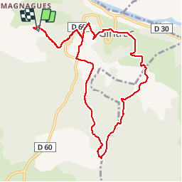

9,9 km | 14,2 km-effort

Utilisateur


Application GPS de randonnée GRATUITE
 SityTrail
IGN / Instituts géographiques
SityTrail World
Le monde est à vous
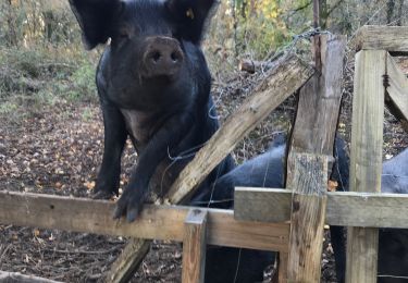
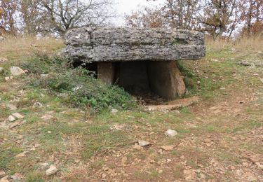
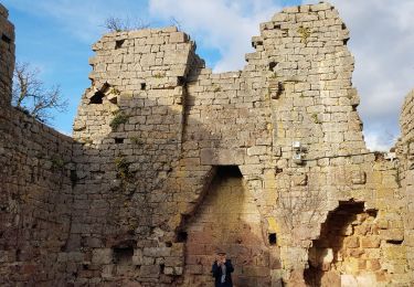
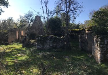
Randonnée Marche de 10,9 km à découvrir à Occitanie, Lot, Carennac. Cette randonnée est proposée par bellouelo46.
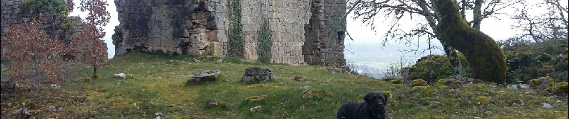
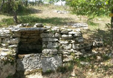
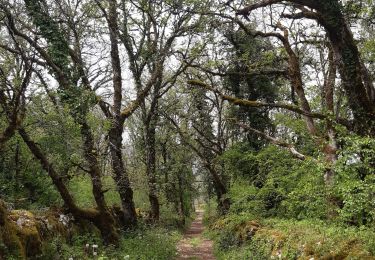
promenade sur le causse


Marche
Marche
Marche
Marche


Marche

Marche