Randonnée Autre activité Reilhac - reilhac - Photo
 fouilladepierre
fouilladepierre

Utilisateur

© OpenStreetMap contributors
Longueur
Longueur
17,4 km
Altitude max
Altitude max
372 m
Dénivelé positif
Dénivelé positif
197 m
Km-Effort
Km-Effort  
20 km
Altitude min
Altitude min
311 m
Dénivelé négatif
Dénivelé négatif
199 m
Boucle
Boucle
Oui
Date de création :
2016-03-26 00:00:00.0
Dernière modification :
2016-03-26 00:00:00.0

(1 Avis)

Autre activité
Autre activité
4h00
Difficulté : Inconnu

Scannez ce code QR pour ouvrir la randonnée dans l'application SityTrail

Application GPS de randonnée GRATUITE

Logo SityTrail SityTrail

IGN / Instituts géographiques

Télécharger SityTrail sur l'App Store Télécharger SityTrail sur Google Play

Logo SityTrail SityTrail World

Le monde est à vous

Télécharger SityTrail sur l'App Store Télécharger SityTrail sur Google Play Télécharger SityTrail sur Huawei AppGallery

À propos

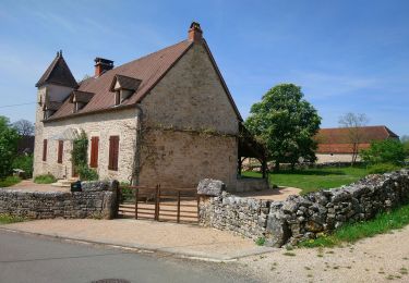
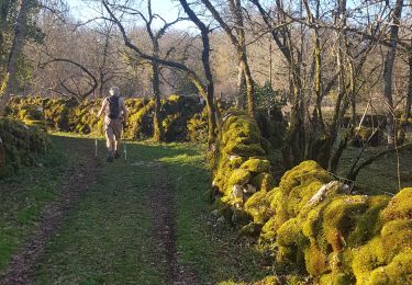
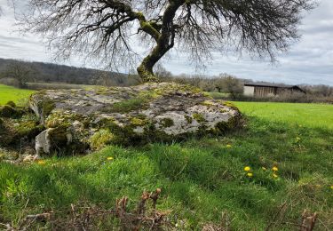
Randonnée Autre activité de 17,4 km à découvrir à Occitanie, Lot, Reilhac. Cette randonnée est proposée par fouilladepierre.

Profil altimétrique

Localisation

Pays :
France
Région :
Occitanie
Département/Province :
Lot
Commune :
Reilhac
Localité :
Unknown
Départ:(Dec)
Départ:(UTM)
398453 ; 4950480 (31T) N.

Commentaires

Veuillez vous connecter pour laisser un commentaire ou une note


Randonnées à proximité

Randonnée Marche Reilhac - Reihlac  - Photo
Marche
Gegetop

Marche

Très facile
(1)
Reilhac, Occitanie, Lot, France
9 km | 10,5 km-effort
2h 34min
Oui
Randonnée Marche Reilhac - Autour de Reilhac - Photo
Marche
neleda

Marche

Très facile
Reilhac, Occitanie, Lot, France
10,6 km | 12,6 km-effort
3h 11min
Oui
Randonnée Marche Issendolus - Chemin des gariottes - Photo
Marche
viam19

Marche

Facile
Issendolus, Occitanie, Lot, France
10,6 km | 12,6 km-effort
4h 10min
Oui
Randonnée Vélo de route Le Bastit - Rando-Cyclo6-Rocamadour-63km-Juin21 - Photo
Vélo de route
Patrick2019

Vélo de route

Très difficile
Le Bastit, Occitanie, Lot, France
63 km | 79 km-effort
4h 47min
Oui
Randonnée Vélo de route Le Bastit - Rando-Cyclo14-LeCausse-62km-Juin21 - Photo
Vélo de route
Patrick2019

Vélo de route

Très difficile
Le Bastit, Occitanie, Lot, France
62 km | 75 km-effort
4h 33min
Oui
Randonnée Vélo de route Le Bastit - Rando-Cyclo15-Racamadour-56Km-Juin21 - Photo
Vélo de route
Patrick2019

Vélo de route

Très difficile
Le Bastit, Occitanie, Lot, France
56 km | 70 km-effort
4h 15min
Oui
Randonnée Attelage Cœur de Causse - Fontannes du causse - Photo
Attelage
Eimie Proost

Attelage

Très facile
Cœur de Causse, Occitanie, Lot, France
21 km | 26 km-effort
Inconnu
Oui
Randonnée Marche Reilhac - Reilhac/ Pech du Cornouiller/ Goudelan - Photo
Marche
houbart

Marche

Difficile
(1)
Reilhac, Occitanie, Lot, France
10,7 km | 12,8 km-effort
2h 54min
Oui
Randonnée V.T.T. Cœur de Causse - Fontaines jeudi - Photo
V.T.T.
daniel46100

V.T.T.

Difficile
Cœur de Causse, Occitanie, Lot, France
28 km | 35 km-effort
2h 23min
Oui


Fermer
Mes abonnements