


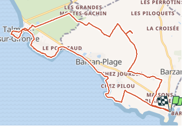

9,4 km | 10,4 km-effort


Utilisateur


Application GPS de randonnée GRATUITE
 SityTrail
IGN / Instituts géographiques
SityTrail World
Le monde est à vous
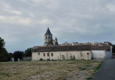
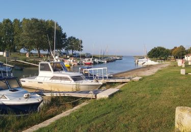
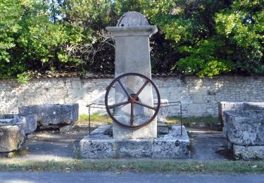
Randonnée Via ferrata de 14,7 km à découvrir à Nouvelle-Aquitaine, Charente-Maritime, Barzan. Cette randonnée est proposée par montamat.
Marche
Marche
Marche
A pied
Marche

A pied

A pied

Vélo de route
Marche