


c5

myjackotte
Utilisateur
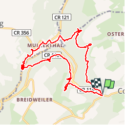

Longueur
11,5 km

Altitude max
349 m

Dénivelé positif
335 m
Km-Effort
15,9 km

Altitude min
211 m

Dénivelé négatif
328 m
Boucle
Oui
Date de création :
2016-07-29 00:00:00.0
Dernière modification :
2016-07-29 00:00:00.0
4h13
Difficulté : Inconnu

Application GPS de randonnée GRATUITE
 SityTrail
IGN / Instituts géographiques
SityTrail Plus
Le monde est à vous
À propos
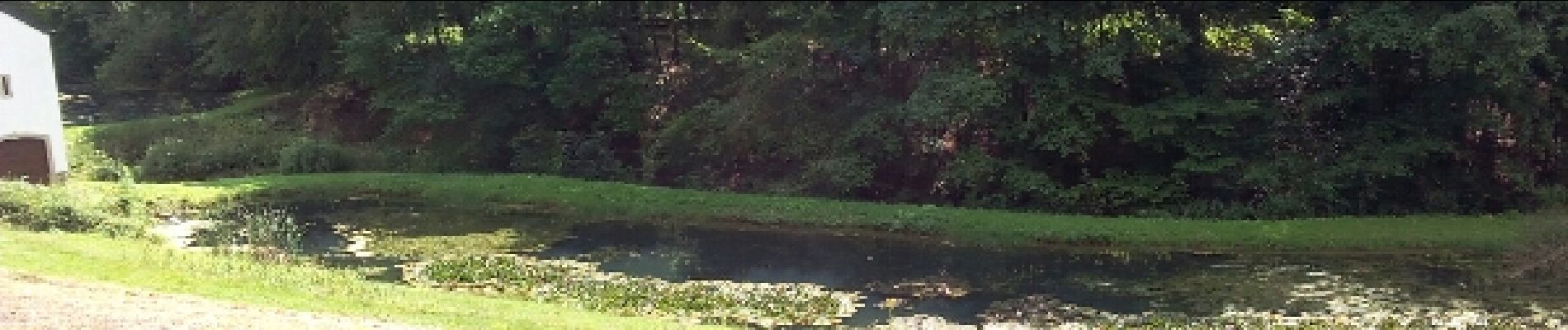
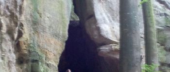
Randonnée Marche de 11,5 km à découvrir à Inconnu, Canton Echternach, Consdorf. Cette randonnée est proposée par myjackotte.
Photos


Localisation
Pays :
Luxembourg
Région :
Inconnu
Département/Province :
Canton Echternach
Commune :
Consdorf
Localité :
Unknown
Départ:(Dec)
Départ:(UTM)
307606 ; 5517474 (32U) N.
Commentaires