


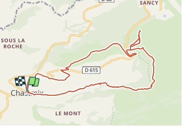


17,7 km | 24 km-effort

Utilisateur


Application GPS de randonnée GRATUITE
 SityTrail
IGN / Instituts géographiques
SityTrail World
Le monde est à vous
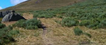
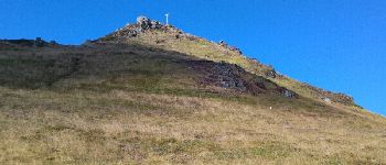
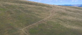
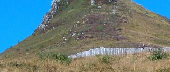
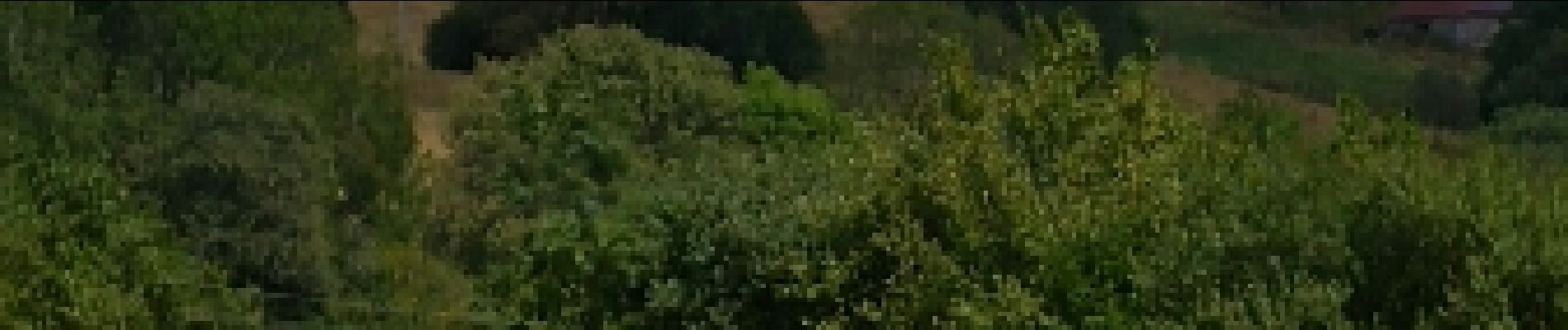
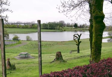
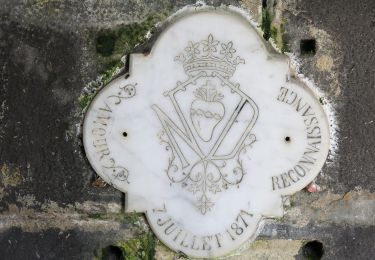
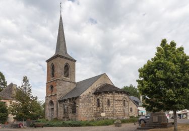
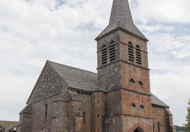
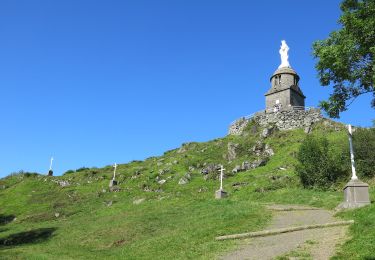
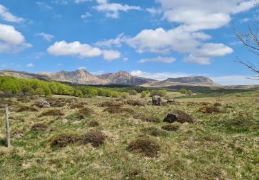
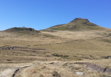
Randonnée Marche de 12,1 km à découvrir à Auvergne-Rhône-Alpes, Puy-de-Dôme, Chastreix. Cette randonnée est proposée par neleda.


Marche

Marche
A pied
A pied
A pied
A pied

A pied
Marche
Marche