


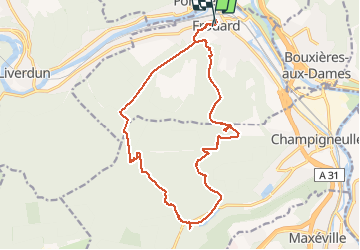


18,7 km | 24 km-effort

Utilisateur


Application GPS de randonnée GRATUITE
 SityTrail
IGN / Instituts géographiques
SityTrail World
Le monde est à vous
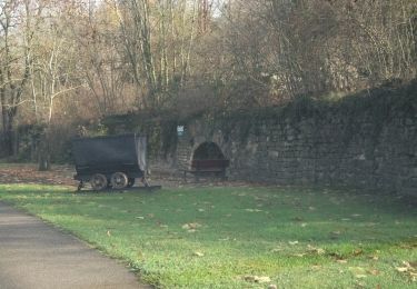
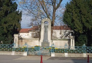
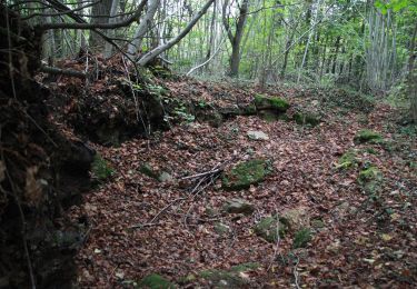
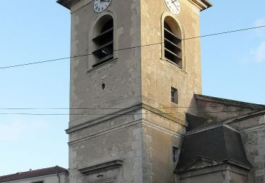
Randonnée Marche de 18 km à découvrir à Grand Est, Meurthe-et-Moselle, Frouard. Cette randonnée est proposée par webmammuth.
Balade au départ de Frouard sur le plateau de Haye. Il y a quelques erreurs et quelques errances. Éviter d'aller derrière la station de pompage, au rendez vous du gascon et dans le fort. Pour le reste, c'est ok.. ??


A pied

A pied
Cyclotourisme
A pied

A pied
A pied
A pied
A pied
A pied