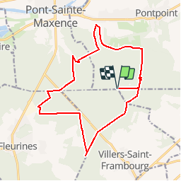

5,4 km | 6,4 km-effort


Utilisateur


Application GPS de randonnée GRATUITE
 SityTrail
IGN / Instituts géographiques
SityTrail World
Le monde est à vous
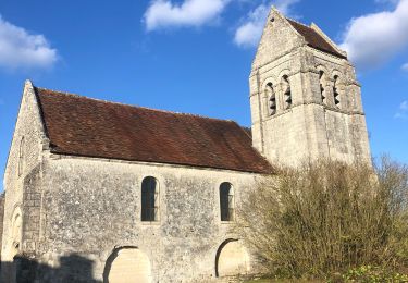
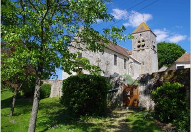
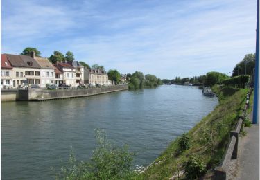
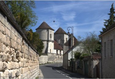
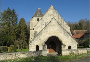
Randonnée Marche de 16,6 km à découvrir à Hauts-de-France, Oise, Pontpoint. Cette randonnée est proposée par CC.RIDER.
Randonnée en forêt.
Marche

Marche

Marche
Marche
V.T.C.
Cyclotourisme
A pied
Vélo électrique