


CHX ZRMT Étape 10 de Rwanda à Zermatt

jeff2
Utilisateur
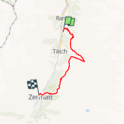

Longueur
18,5 km

Altitude max
2372 m

Dénivelé positif
1408 m
Km-Effort
37 km

Altitude min
1427 m

Dénivelé négatif
1229 m
Boucle
Non
Date de création :
2016-09-25 00:00:00.0
Dernière modification :
2016-09-25 00:00:00.0
6h09
Difficulté : Moyen

Application GPS de randonnée GRATUITE
 SityTrail
IGN / Instituts géographiques
SityTrail Plus
Le monde est à vous
À propos
Randonnée Marche de 18,5 km à découvrir à Valais, Viège, Randa. Cette randonnée est proposée par jeff2.
Description
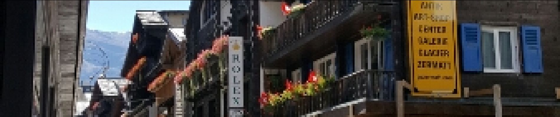
La plus journée pour la météo et la plus belle arrivée sur Zermatt
Photos


28 photos au total. Cliquez sur une photo pour les afficher toutes dans la galerie.
Localisation
Pays :
Suisse
Région :
Valais
Département/Province :
Viège
Commune :
Randa
Localité :
Unknown
Départ:(Dec)
Départ:(UTM)
405803 ; 5104317 (32T) N.
Commentaires