Randonnée Marche Martailly-lès-Brancion - Chateaux de Chavy et Brancion - Photo
 yew
yew

Utilisateur

© OpenStreetMap contributors
Longueur
Longueur
14,4 km
Altitude max
Altitude max
471 m
Dénivelé positif
Dénivelé positif
457 m
Km-Effort
Km-Effort  
21 km
Altitude min
Altitude min
255 m
Dénivelé négatif
Dénivelé négatif
458 m
Boucle
Boucle
Oui
Date de création :
2017-03-26 00:00:00.0
Dernière modification :
2017-03-26 00:00:00.0

(0 Avis)

Marche
Marche
4h21
Difficulté : Facile

Scannez ce code QR pour ouvrir la randonnée dans l'application SityTrail

Application GPS de randonnée GRATUITE

Logo SityTrail SityTrail

IGN / Instituts géographiques

Télécharger SityTrail sur l'App Store Télécharger SityTrail sur Google Play

Logo SityTrail SityTrail World

Le monde est à vous

Télécharger SityTrail sur l'App Store Télécharger SityTrail sur Google Play Télécharger SityTrail sur Huawei AppGallery

À propos

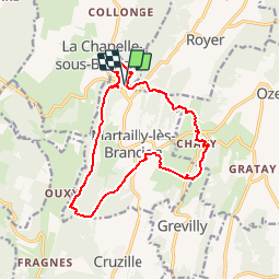
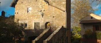
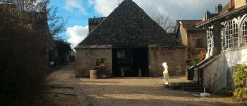
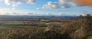
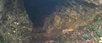
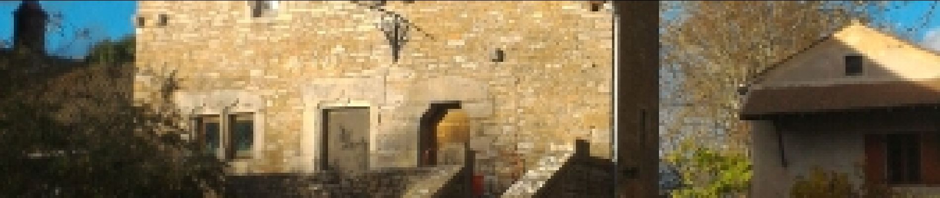
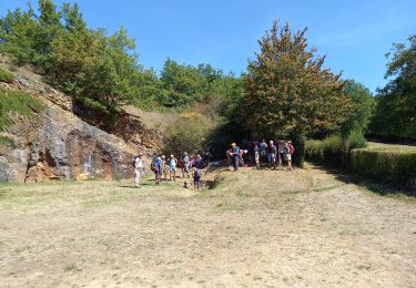
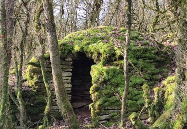
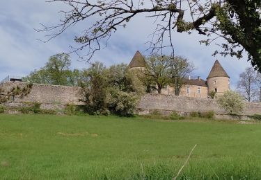
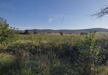
Randonnée Marche de 14,4 km à découvrir à Bourgogne-Franche-Comté, Saône-et-Loire, Martailly-lès-Brancion. Cette randonnée est proposée par yew.

Description

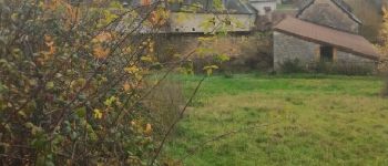
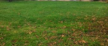
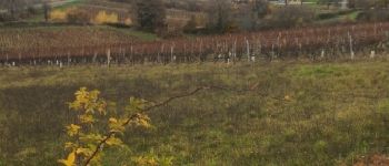
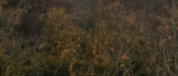
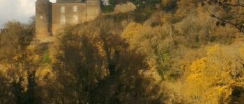
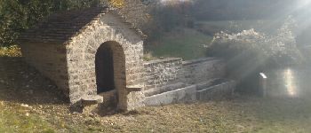
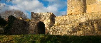
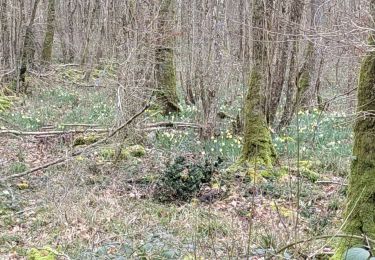
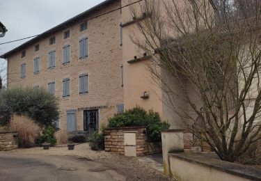
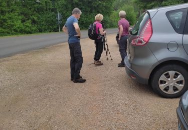
Ballade agréable entre futaies, vignes et chemins de buis. Chevreuils si vous êtes chanceux... Un peu d'histoire en passant.

Profil altimétrique

Photos

Points d'intérêt

Point d'intérêt Martailly-lès-Brancion - VUE SUR MARTAILLY - Photo
yew
MARTAILLY-LÈS-BRANCION 
Point d'intérêt Martailly-lès-Brancion - VUE SUR LE CHATAU DE BRANCION - Photo
yew
MARTAILLY-LÈS-BRANCION 
Point d'intérêt Martailly-lès-Brancion - CHATEAU DE BRANCION - Photo
yew
MARTAILLY-LÈS-BRANCION 
Point d'intérêt Martailly-lès-Brancion - UNE BARBETTE - Photo
yew
MARTAILLY-LÈS-BRANCION 
Point d'intérêt Martailly-lès-Brancion - POTERNE DU CHATEAU DE BRANCION - Photo
yew
MARTAILLY-LÈS-BRANCION 
Point d'intérêt Martailly-lès-Brancion - VILLAGE MEDIEVAL DE BRANCION - Photo
yew
MARTAILLY-LÈS-BRANCION 
Point d'intérêt Martailly-lès-Brancion - HALL DU VILLAGE MEDIEVAL - Photo
yew
MARTAILLY-LÈS-BRANCION 
Point d'intérêt Martailly-lès-Brancion - POINT DE VUE - Photo
yew
MARTAILLY-LÈS-BRANCION 
Point d'intérêt Martailly-lès-Brancion - FOUR DE LA BAUME - Photo
yew
MARTAILLY-LÈS-BRANCION 

Localisation

Pays :
France
Région :
Bourgogne-Franche-Comté
Département/Province :
Saône-et-Loire
Commune :
Martailly-lès-Brancion
Localité :
Unknown
Départ:(Dec)
Départ:(UTM)
637943 ; 5156137 (31T) N.

Randonnées à proximité

Randonnée Marche Martailly-lès-Brancion - Brancion les trois châteaux page 154 - Photo
Marche
grasgilbert

Marche

Moyen
(1)
Martailly-lès-Brancion, Bourgogne-Franche-Comté, Saône-et-Loire, France
18,5 km | 25 km-effort
5h 59min
Oui
Randonnée Marche Martailly-lès-Brancion - Martailly sentier des cado'es FR - Photo
Marche
hubert REVILLOT 2

Marche

Très facile
Martailly-lès-Brancion, Bourgogne-Franche-Comté, Saône-et-Loire, France
6,7 km | 9,4 km-effort
2h 23min
Non
Randonnée Marche Martailly-lès-Brancion - 20200930 G2 Brancion TH 14km 400m - Photo
Marche
sami55

Marche

Moyen
(1)
Martailly-lès-Brancion, Bourgogne-Franche-Comté, Saône-et-Loire, France
14,5 km | 19,8 km-effort
4h 11min
Oui
Randonnée Marche Cruzille - Cruzille Rst - Photo
Marche
hubert REVILLOT 2

Marche

Moyen
Cruzille, Bourgogne-Franche-Comté, Saône-et-Loire, France
12,1 km | 17,8 km-effort
3h 17min
Non
Randonnée Marche Mancey - charmes FR - Photo
Marche
hubert REVILLOT 2

Marche

Facile
Mancey, Bourgogne-Franche-Comté, Saône-et-Loire, France
7,6 km | 10,2 km-effort
2h 13min
Oui
Randonnée Marche Cruzille - Martailly rst - Photo
Marche
hubert REVILLOT 2

Marche

Facile
Cruzille, Bourgogne-Franche-Comté, Saône-et-Loire, France
15,9 km | 20 km-effort
3h 20min
Non
Randonnée Marche Chissey-lès-Mâcon - martailly - Photo
Marche
hubert REVILLOT 2

Marche

Moyen
Chissey-lès-Mâcon, Bourgogne-Franche-Comté, Saône-et-Loire, France
8,1 km | 10,6 km-effort
2h 4min
Non
Randonnée Marche Chissey-lès-Mâcon - Chaussettes les maçons - Photo
Marche
jpdroux

Marche

Difficile
Chissey-lès-Mâcon, Bourgogne-Franche-Comté, Saône-et-Loire, France
11,7 km | 16,8 km-effort
6h 11min
Oui
Randonnée Marche Ozenay - ozenay - Photo
Marche
hubert REVILLOT 2

Marche

Facile
Ozenay, Bourgogne-Franche-Comté, Saône-et-Loire, France
13 km | 17,6 km-effort
2h 55min
Non


Fermer
Mes abonnements