Randonnée Sports d'hiver Neuwiller-lès-Saverne - 2017019 - Photo
 fredodlageo
fredodlageo

Utilisateur

© OpenStreetMap contributors
Longueur
Longueur
5,6 km
Altitude max
Altitude max
397 m
Dénivelé positif
Dénivelé positif
106 m
Km-Effort
Km-Effort  
7 km
Altitude min
Altitude min
352 m
Dénivelé négatif
Dénivelé négatif
105 m
Boucle
Boucle
Oui
Date de création :
2017-02-03 00:00:00.0
Dernière modification :
2017-02-03 00:00:00.0

(0 Avis)

Sports d'hiver
Sports d'hiver
1h01
Difficulté : Facile

Scannez ce code QR pour ouvrir la randonnée dans l'application SityTrail

Application GPS de randonnée GRATUITE

Logo SityTrail SityTrail

IGN / Instituts géographiques

Télécharger SityTrail sur l'App Store Télécharger SityTrail sur Google Play

Logo SityTrail SityTrail World

Le monde est à vous

Télécharger SityTrail sur l'App Store Télécharger SityTrail sur Google Play Télécharger SityTrail sur Huawei AppGallery

À propos

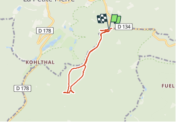
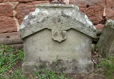
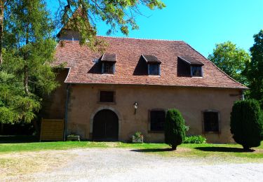
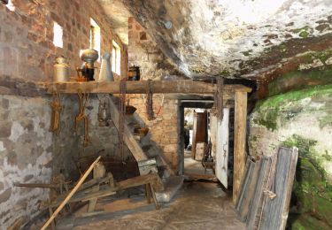
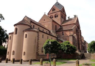
Randonnée Sports d'hiver de 5,6 km à découvrir à Grand Est, Bas-Rhin, Neuwiller-lès-Saverne. Cette randonnée est proposée par fredodlageo.

Description

Sortie_skisfond_Izzie
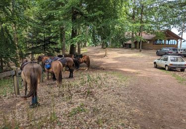
Profil altimétrique

Localisation

Pays :
France
Région :
Grand Est
Département/Province :
Bas-Rhin
Commune :
Neuwiller-lès-Saverne
Localité :
Unknown
Départ:(Dec)
Départ:(UTM)
378348 ; 5412175 (32U) N.

Randonnées à proximité

Randonnée Randonnée équestre Dossenheim-sur-Zinsel - 2023-07-09 Picnic CVA Dossenheim sur Zinsel - Photo
Randonnée équestre
GUIDE
holtzv

Randonnée équestre

Moyen
Dossenheim-sur-Zinsel, Grand Est, Bas-Rhin, France
29 km | 39 km-effort
5h 45min
Oui
Randonnée A pied La Petite-Pierre - Triangle vert - Photo
A pied
PRO

A pied

Facile
La Petite-Pierre, Grand Est, Bas-Rhin, France
15,1 km | 19,2 km-effort
4h 22min
Non
Randonnée A pied La Petite-Pierre - Anneau bleu - Photo
A pied
PRO

A pied

Facile
La Petite-Pierre, Grand Est, Bas-Rhin, France
4,7 km | 6,8 km-effort
1h 33min
Oui
Randonnée A pied Dossenheim-sur-Zinsel - Triangle rouge - Photo
A pied
PRO

A pied

Facile
Dossenheim-sur-Zinsel, Grand Est, Bas-Rhin, France
4 km | 5 km-effort
1h 8min
Non
Randonnée A pied Eschbourg - Triangle rouge - Photo
A pied
PRO

A pied

Facile
Eschbourg, Grand Est, Bas-Rhin, France
6,8 km | 9,7 km-effort
2h 12min
Non
Randonnée A pied Eschbourg - Chemin des Fontaines - Photo
A pied
PRO

A pied

Facile
Eschbourg, Grand Est, Bas-Rhin, France
6,6 km | 9,1 km-effort
2h 3min
Non
Randonnée A pied Neuwiller-lès-Saverne - Croix bleu - Photo
A pied
PRO

A pied

Facile
Neuwiller-lès-Saverne, Grand Est, Bas-Rhin, France
11,5 km | 17,7 km-effort
4h 0min
Non
Randonnée A pied Neuwiller-lès-Saverne - Disque bleu - Photo
A pied
PRO

A pied

Facile
Neuwiller-lès-Saverne, Grand Est, Bas-Rhin, France
10,7 km | 15,4 km-effort
3h 30min
Non
Randonnée A pied Weiterswiller - Triangle jaune - Photo
A pied
PRO

A pied

Facile
Weiterswiller, Grand Est, Bas-Rhin, France
14,6 km | 19,2 km-effort
4h 22min
Non


Fermer
Mes abonnements