Randonnée Sports d'hiver Saint-Andéol - darbounouse suite  - Photo
 ManteR07
ManteR07

Utilisateur

© OpenStreetMap contributors
Longueur
Longueur
8,8 km
Altitude max
Altitude max
1454 m
Dénivelé positif
Dénivelé positif
259 m
Km-Effort
Km-Effort  
12,4 km
Altitude min
Altitude min
1298 m
Dénivelé négatif
Dénivelé négatif
324 m
Boucle
Boucle
Non
Date de création :
2019-04-07 14:30:31.224
Dernière modification :
2019-04-07 14:30:31.272

(0 Avis)

Sports d'hiver
Sports d'hiver
2h56
Difficulté : Difficile

Scannez ce code QR pour ouvrir la randonnée dans l'application SityTrail

Application GPS de randonnée GRATUITE

Logo SityTrail SityTrail

IGN / Instituts géographiques

Télécharger SityTrail sur l'App Store Télécharger SityTrail sur Google Play

Logo SityTrail SityTrail World

Le monde est à vous

Télécharger SityTrail sur l'App Store Télécharger SityTrail sur Google Play Télécharger SityTrail sur Huawei AppGallery

À propos

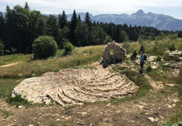
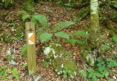
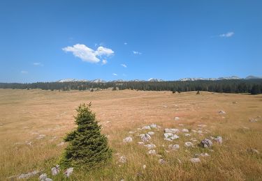
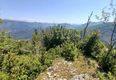
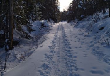
Randonnée Sports d'hiver de 8,8 km à découvrir à Auvergne-Rhône-Alpes, Isère, Saint-Andéol. Cette randonnée est proposée par ManteR07.

Profil altimétrique

Localisation

Pays :
France
Région :
Auvergne-Rhône-Alpes
Département/Province :
Isère
Commune :
Saint-Andéol
Localité :
Unknown
Départ:(Dec)
Départ:(UTM)
695804 ; 4982840 (31T) N.

Randonnées à proximité

Randonnée Marche Saint-Martin-en-Vercors - La Sambue et le belvedere de Chateau Julien - Photo
Marche
ajd26

Marche

Très difficile
Saint-Martin-en-Vercors, Auvergne-Rhône-Alpes, Drôme, France
15,7 km | 24 km-effort
5h 27min
Oui
Randonnée Marche Saint-Agnan-en-Vercors - 26 st Agnan champ gros de la vache - Photo
Marche
himba26100

Marche

Moyen
Saint-Agnan-en-Vercors, Auvergne-Rhône-Alpes, Drôme, France
16,9 km | 27 km-effort
6h 51min
Oui
Randonnée Marche Saint-Martin-en-Vercors - orientation Roybon - Photo
Marche
JARJATTE

Marche

Très facile
Saint-Martin-en-Vercors, Auvergne-Rhône-Alpes, Drôme, France
3,2 km | 4,1 km-effort
2h 53min
Non
Randonnée Marche Saint-Martin-en-Vercors - F26 ST LCV Tourtre la Sambue N2 - Photo
Marche
ageo

Marche

Moyen
(1)
Saint-Martin-en-Vercors, Auvergne-Rhône-Alpes, Drôme, France
15,7 km | 28 km-effort
5h 50min
Oui
Randonnée Marche Saint-Agnan-en-Vercors - Rocher de la Peyrouse - Photo
Marche
Noiraude

Marche

Difficile
Saint-Agnan-en-Vercors, Auvergne-Rhône-Alpes, Drôme, France
16,3 km | 28 km-effort
8h 2min
Oui
Randonnée Marche Saint-Martin-en-Vercors - Rocher de l'Allier - Photo
Marche
Patrick Stms

Marche

Moyen
Saint-Martin-en-Vercors, Auvergne-Rhône-Alpes, Drôme, France
4,1 km | 7,5 km-effort
1h 49min
Oui
Randonnée Marche Saint-Martin-en-Vercors - 26 tourtre zels - Photo
Marche
himba26100

Marche

Moyen
Saint-Martin-en-Vercors, Auvergne-Rhône-Alpes, Drôme, France
14,4 km | 24 km-effort
6h 41min
Non
Randonnée Marche Saint-Martin-en-Vercors - Herbouilly - Photo
Marche
montadel

Marche

Moyen
Saint-Martin-en-Vercors, Auvergne-Rhône-Alpes, Drôme, France
7 km | 10 km-effort
3h 0min
Oui
Randonnée Marche La Chapelle-en-Vercors - tour de loscense - Photo
Marche
guyzinz

Marche

Très difficile
La Chapelle-en-Vercors, Auvergne-Rhône-Alpes, Drôme, France
17,1 km | 28 km-effort
7h 22min
Oui


Fermer
Mes abonnements