


4,2 km | 5,7 km-effort


Utilisateur


Application GPS de randonnée GRATUITE
 SityTrail
IGN / Instituts géographiques
SityTrail World
Le monde est à vous
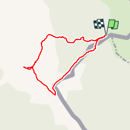
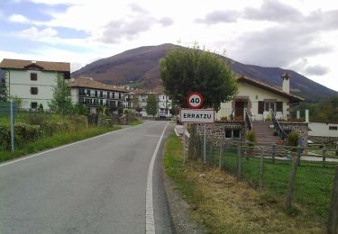
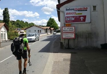
Randonnée Marche de 3,7 km à découvrir à Navarre, Inconnu, Baztan. Cette randonnée est proposée par DECHAMPD.
passage entre point 1 et 2 aucune trace ou repère
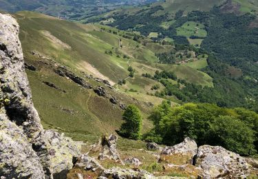
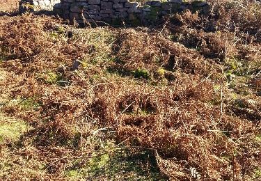
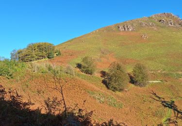
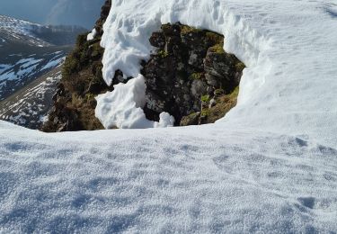
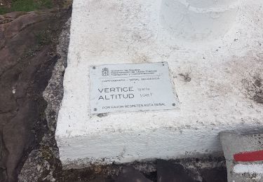
sommet parfois enneigé
du départ à point3 repères "BLANC et ROUGE"
du repère 5 à 25 trace non trouvé
A pied
A pied
Marche
Marche
Autre activité
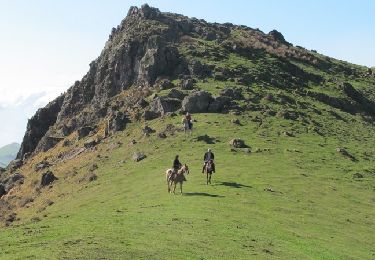
Cheval
Marche
Marche
Marche