


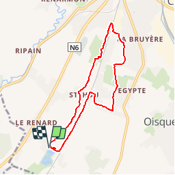


13,2 km | 15,9 km-effort


Utilisateur


Application GPS de randonnée GRATUITE
 SityTrail
IGN / Instituts géographiques
SityTrail World
Le monde est à vous
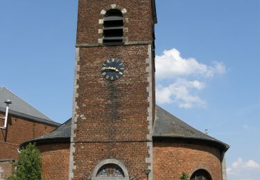
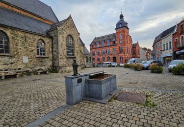
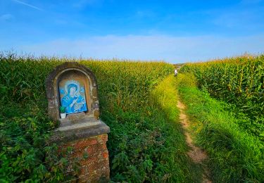
Randonnée Marche de 6,8 km à découvrir à Wallonie, Brabant wallon, Tubize. Cette randonnée est proposée par calofrancis.
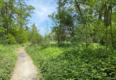
Au départ des étangs de Coeurcq. Cette balade suit le ry de Coeurcq jusqu'au début de sa partie souterraine en dessous de l'agglomération de Tubize.
Le retour via le chemin des crêtes permet de voir un grand panorama sur toute la région ainsi que les plus grands bâtiments de Bruxelles.
___www.marcheursdumardi.be___
Marche

Marche
Marche
Marche
Marche
Marche
Marche
Marche

Marche