


10,6 km | 14,1 km-effort


Utilisateur


Application GPS de randonnée GRATUITE
 SityTrail
IGN / Instituts géographiques
SityTrail World
Le monde est à vous
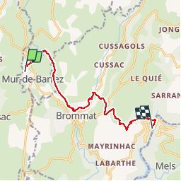
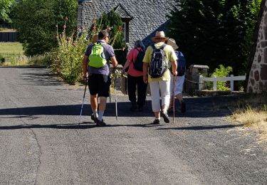
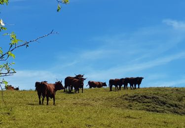
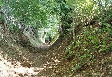
Randonnée Marche de 12,3 km à découvrir à Occitanie, Aveyron, Mur-de-Barrez. Cette randonnée est proposée par catherineslater.
Chemins de l'Europe (www.chemins-europe.org). Chemin de Saint Gilles Aurillac-Aubrac: section Mur-La Cadène
Marche

Chiens de traîneau
Marche
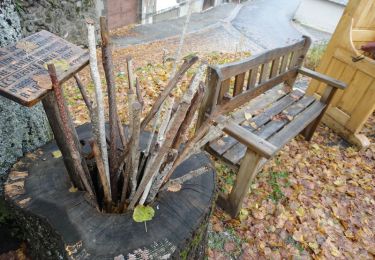
Marche
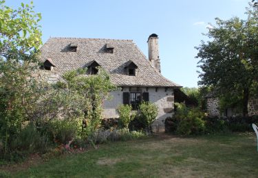
Marche

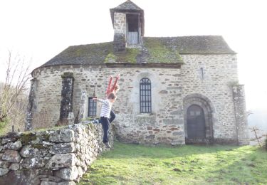
Marche
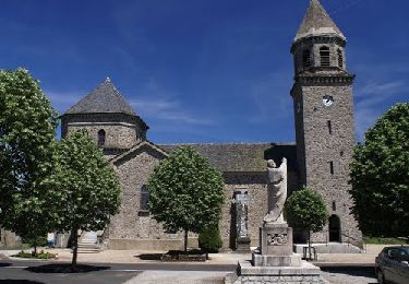
Marche
Vélo
Marche