


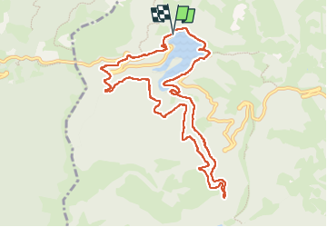


16,7 km | 27 km-effort

Utilisateur


Application GPS de randonnée GRATUITE
 SityTrail
IGN / Instituts géographiques
SityTrail World
Le monde est à vous
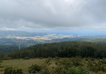
Randonnée Marche de 11,4 km à découvrir à Navarre, Inconnu, Lesaka. Cette randonnée est proposée par DECHAMPD.
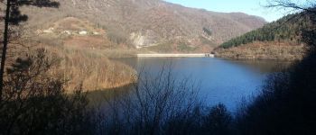
Embalse de Endara
tour du barrage de ENDARA
Altitude : 250 m - Superficie : 23.0 ha -
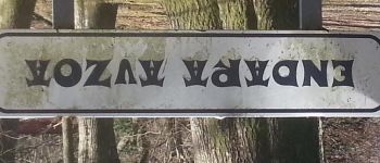
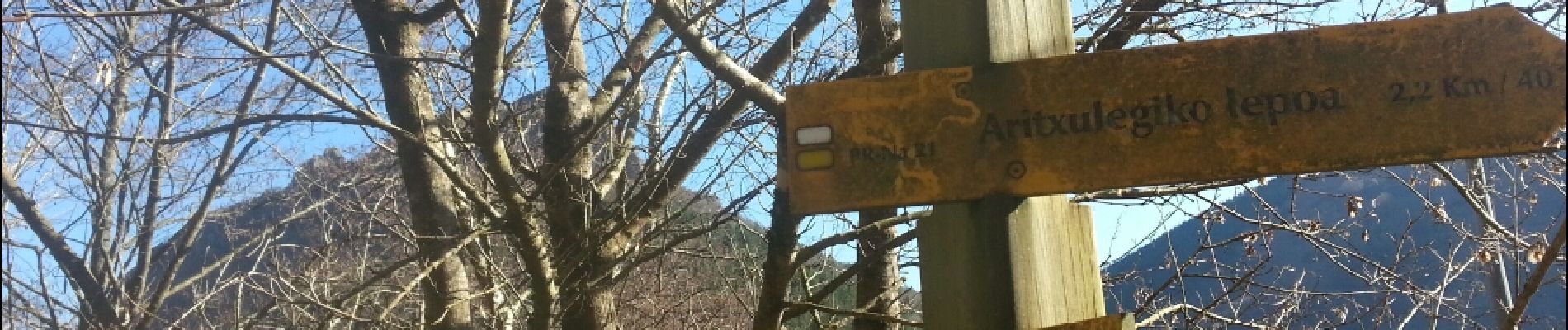
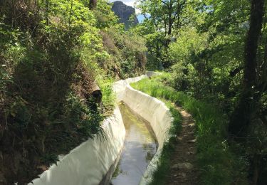
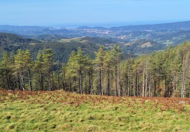
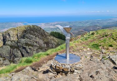
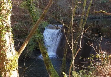
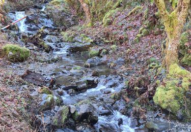
Départ du barrage, direction Endara Auzoa,, puis suivre le canal vers la centrale électrique (5km), suivre Intzinzarreko bidea, traverser 2 ponts de bois, ferme Garaikoetxea, rejoindre la route NA 4000, Ermita de San Antón et traverser le barrage.


Marche
Marche

Marche
Marche
Marche
Marche
Marche
Marche