Randonnée Vélo Wintzenheim - venetië dag 10 - Photo
 karawatsj
karawatsj

Utilisateur

© OpenStreetMap contributors
Longueur
Longueur
92 km
Altitude max
Altitude max
428 m
Dénivelé positif
Dénivelé positif
770 m
Km-Effort
Km-Effort  
102 km
Altitude min
Altitude min
192 m
Dénivelé négatif
Dénivelé négatif
560 m
Boucle
Boucle
Non
Date de création :
2017-06-07 00:00:00.0
Dernière modification :
2017-06-07 00:00:00.0

(0 Avis)

Vélo
Vélo
7h48
Difficulté : Moyen

Scannez ce code QR pour ouvrir la randonnée dans l'application SityTrail

Application GPS de randonnée GRATUITE

Logo SityTrail SityTrail

IGN / Instituts géographiques

Télécharger SityTrail sur l'App Store Télécharger SityTrail sur Google Play

Logo SityTrail SityTrail World

Le monde est à vous

Télécharger SityTrail sur l'App Store Télécharger SityTrail sur Google Play Télécharger SityTrail sur Huawei AppGallery

À propos

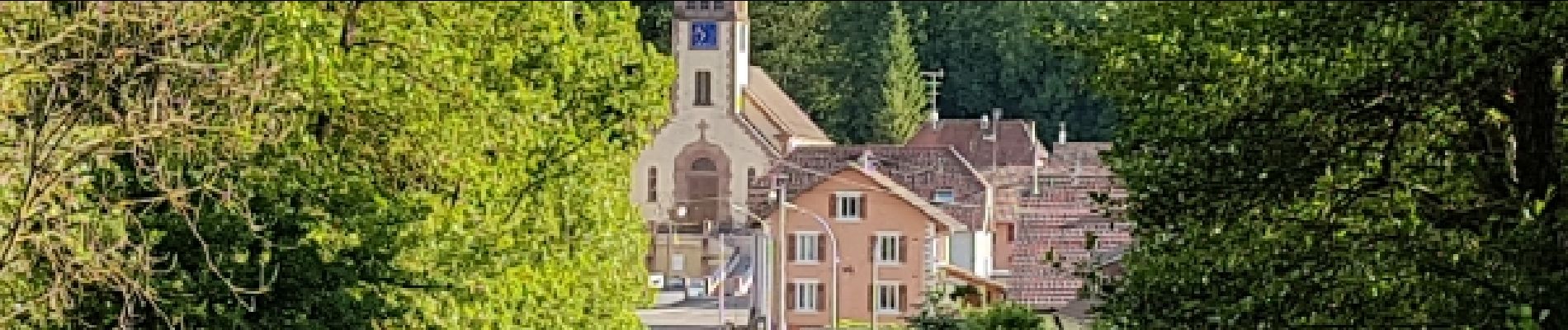
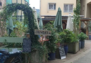
Randonnée Vélo de 92 km à découvrir à Grand Est, Haut-Rhin, Wintzenheim. Cette randonnée est proposée par karawatsj.

Description

Van Colmar naar de Mooslargue aan de Jura

Profil altimétrique

Photos

Points d'intérêt

Point d'intérêt Ungersheim - oude kalimijnen - Photo
karawatsj
UNGERSHEIM 

Localisation

Pays :
France
Région :
Grand Est
Département/Province :
Haut-Rhin
Commune :
Wintzenheim
Localité :
Unknown
Départ:(Dec)
Départ:(UTM)
374414 ; 5327024 (32U) N.

Randonnées à proximité

Randonnée Marche Wettolsheim - 4 châteaux Wettolsheim Husseren - Photo
Marche
apa

Marche

Moyen
(1)
Wettolsheim, Grand Est, Haut-Rhin, France
11,7 km | 17,7 km-effort
4h 28min
Non
Randonnée Marche Ammerschwihr - D'Ammerschwihr aux Trois Epis - Photo
Marche
VacheKiri67

Marche

Difficile
(1)
Ammerschwihr, Grand Est, Haut-Rhin, France
17,1 km | 25 km-effort
5h 35min
Oui
Randonnée Marche Eguisheim - 2023-12-29 Marche Hagueneck Pflixbourg Hohlandsbourg - Photo
Marche
GUIDE
holtzv

Marche

Moyen
Eguisheim, Grand Est, Haut-Rhin, France
22 km | 32 km-effort
7h 16min
Oui
Randonnée Course à pied Colmar - Covid-19 - A la recherche du cercle parfait - Photo
Course à pied
zazie

Course à pied

Très facile
(1)
Colmar, Grand Est, Haut-Rhin, France
11,2 km | 11,9 km-effort
1h 0min
Oui
Randonnée V.T.T. Wintzenheim - Wintzenheim - Le Stauffen - Col de Marbach - Soultzbach - Photo
V.T.T.
sit68000

V.T.T.

Moyen
(1)
Wintzenheim, Grand Est, Haut-Rhin, France
23 km | 31 km-effort
2h 4min
Oui
Randonnée Marche Colmar - grand tour de Colmar - Photo
Marche
Domdomii

Marche

Très facile
(1)
Colmar, Grand Est, Haut-Rhin, France
4,7 km | 5,1 km-effort
1h 22min
Oui
Randonnée Marche Wintzenheim - Château de Pflixbourg depuis Saint Gilles - Photo
Marche
sit68000

Marche

Facile
(1)
Wintzenheim, Grand Est, Haut-Rhin, France
3,7 km | 6,2 km-effort
1h 21min
Oui
Randonnée Marche Katzenthal - Katzenthal  - Photo
Marche
2433e59

Marche

Difficile
Katzenthal, Grand Est, Haut-Rhin, France
16,4 km | 25 km-effort
5h 40min
Oui
Randonnée Vélo de route Turckheim - Véloroute du vignoble - Photo
Vélo de route
apa

Vélo de route

Moyen
Turckheim, Grand Est, Haut-Rhin, France
55 km | 61 km-effort
3h 31min
Non


Fermer
Mes abonnements