


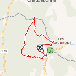

11,2 km | 19,6 km-effort


Utilisateur


Application GPS de randonnée GRATUITE
 SityTrail
IGN / Instituts géographiques
SityTrail World
Le monde est à vous
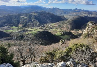
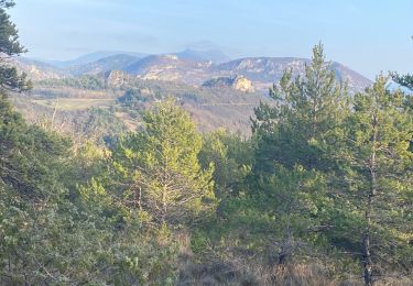
Randonnée Marche de 7,4 km à découvrir à Auvergne-Rhône-Alpes, Drôme, Saint-Ferréol-Trente-Pas. Cette randonnée est proposée par YVESBRULARD.
parking 100 m avant le poteau La Baume ( alt. 526m)

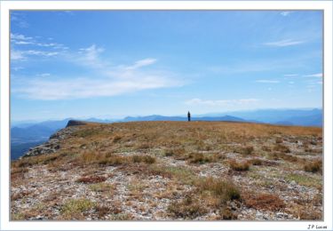
Marche
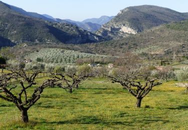
Marche

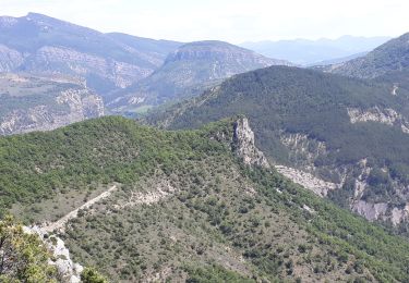
Marche
Marche
Marche

Marche
Marche
Marche
Marche
very nice walk!