Randonnée Marche Azay-le-Brûlé - Fonvérine circuit 2 - Photo
 olaze
olaze

Utilisateur

© OpenStreetMap contributors
Longueur
Longueur
9,5 km
Altitude max
Altitude max
110 m
Dénivelé positif
Dénivelé positif
180 m
Km-Effort
Km-Effort  
11,9 km
Altitude min
Altitude min
43 m
Dénivelé négatif
Dénivelé négatif
180 m
Boucle
Boucle
Oui
Date de création :
2018-04-17 11:22:45.957
Dernière modification :
2018-04-17 11:22:45.957

(0 Avis)

Marche
Marche
2h33
Difficulté : Moyen

Scannez ce code QR pour ouvrir la randonnée dans l'application SityTrail

Application GPS de randonnée GRATUITE

Logo SityTrail SityTrail

IGN / Instituts géographiques

Télécharger SityTrail sur l'App Store Télécharger SityTrail sur Google Play

Logo SityTrail SityTrail World

Le monde est à vous

Télécharger SityTrail sur l'App Store Télécharger SityTrail sur Google Play Télécharger SityTrail sur Huawei AppGallery

À propos

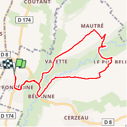
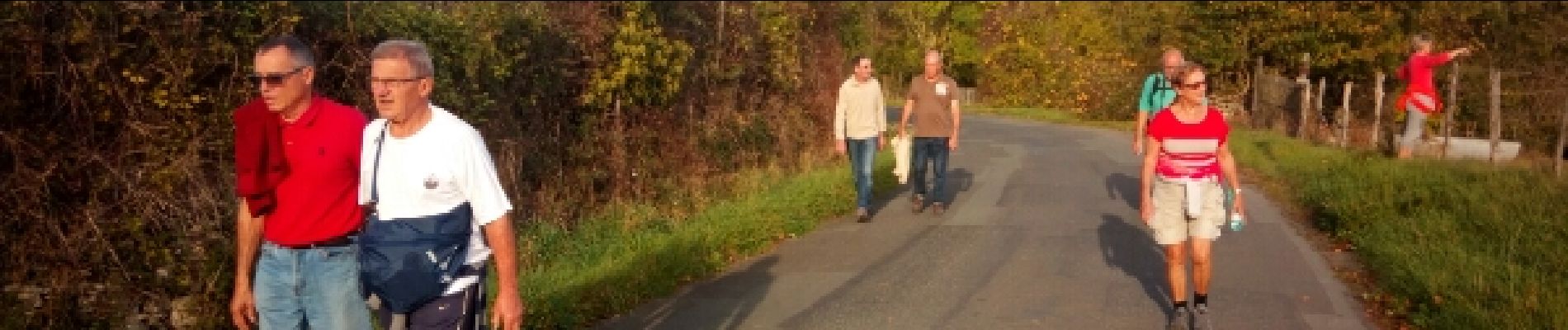
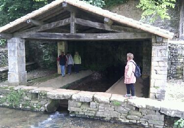
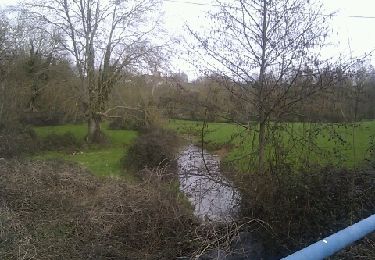
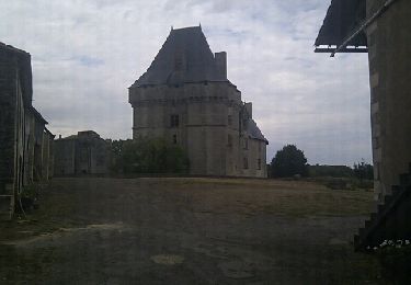
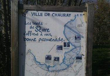
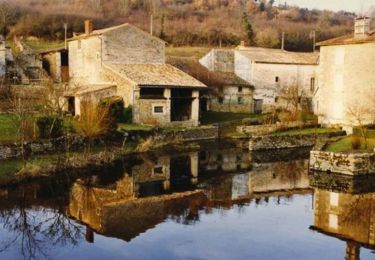
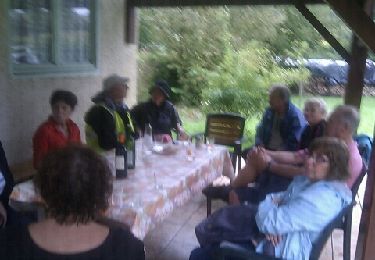
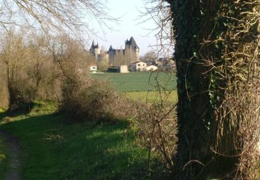
Randonnée Marche de 9,5 km à découvrir à Nouvelle-Aquitaine, Deux-Sèvres, Azay-le-Brûlé. Cette randonnée est proposée par olaze.

Profil altimétrique

Photos

Localisation

Pays :
France
Région :
Nouvelle-Aquitaine
Département/Province :
Deux-Sèvres
Commune :
Azay-le-Brûlé
Localité :
Unknown
Départ:(Dec)
Départ:(UTM)
706771 ; 5143048 (30T) N.

Randonnées à proximité

Randonnée Randonnée équestre Augé - Bois Aigu Clavé 2 - Photo
Randonnée équestre
Dom4i

Randonnée équestre

Très difficile
(1)
Augé, Nouvelle-Aquitaine, Deux-Sèvres, France
40 km | 50 km-effort
6h 32min
Oui
Randonnée Marche Saint-Christophe-sur-Roc - St Christophe sur Roc - Photo
Marche
olaze

Marche

Facile
Saint-Christophe-sur-Roc, Nouvelle-Aquitaine, Deux-Sèvres, France
10,9 km | 13 km-effort
2h 49min
Oui
Randonnée Marche Cherveux - Cherveux- 9,1km - Photo
Marche
olaze

Marche

Moyen
Cherveux, Nouvelle-Aquitaine, Deux-Sèvres, France
9,1 km | 10,5 km-effort
2h 19min
Oui
Randonnée Marche Cherveux - Cherveux . (ATSCAF) 10km - Photo
Marche
olaze

Marche

Facile
Cherveux, Nouvelle-Aquitaine, Deux-Sèvres, France
10,1 km | 11,8 km-effort
2h 42min
Oui
Randonnée Marche Chauray - Chauray - Photo
Marche
olaze

Marche

Facile
Chauray, Nouvelle-Aquitaine, Deux-Sèvres, France
8,7 km | 9,6 km-effort
2h 7min
Oui
Randonnée V.T.T. La Crèche - Rando VTT à La Crêche 30/01/11 - Photo
V.T.T.
tracegps

V.T.T.

Difficile
La Crèche, Nouvelle-Aquitaine, Deux-Sèvres, France
41 km | 49 km-effort
3h 0min
Oui
Randonnée Marche Sainte-Néomaye - 13-09-11 Sainte-Néomaye - Photo
Marche
olaze

Marche

Facile
(1)
Sainte-Néomaye, Nouvelle-Aquitaine, Deux-Sèvres, France
7,7 km | 9,5 km-effort
Inconnu
Oui
Randonnée Marche La Crèche - 202403-14 - Photo
Marche
JO Dessinmekss

Marche

Moyen
La Crèche, Nouvelle-Aquitaine, Deux-Sèvres, France
9 km | 10,2 km-effort
2h 15min
Oui
Randonnée Marche Cherveux - 2021-02-27 Autour de Cherveux - Photo
Marche
cagouille79

Marche

Moyen
Cherveux, Nouvelle-Aquitaine, Deux-Sèvres, France
6,3 km | 7,3 km-effort
1h 39min
Oui


Fermer
Mes abonnements