


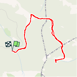

11,7 km | 24 km-effort

Utilisateur


Application GPS de randonnée GRATUITE
 SityTrail
IGN / Instituts géographiques
SityTrail World
Le monde est à vous
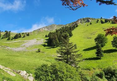
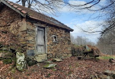
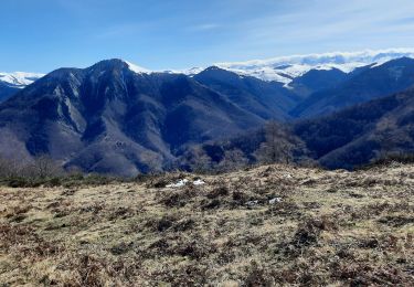
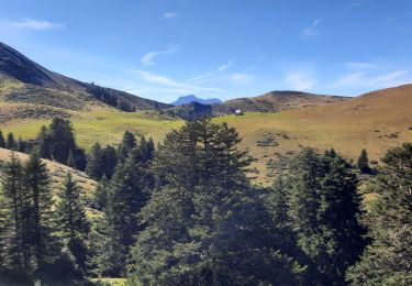
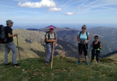
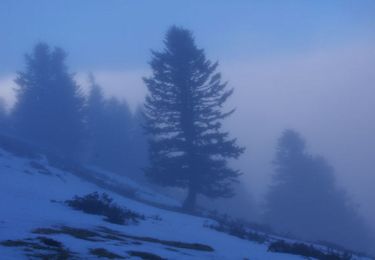
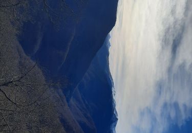
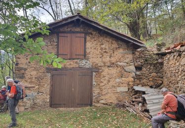
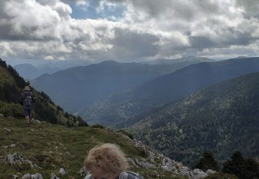
Randonnée Marche de 6,3 km à découvrir à Occitanie, Hautes-Pyrénées, Nistos. Cette randonnée est proposée par jacq58.


Marche
Marche
Marche
Marche
Marche
Marche
Marche
Marche
Marche