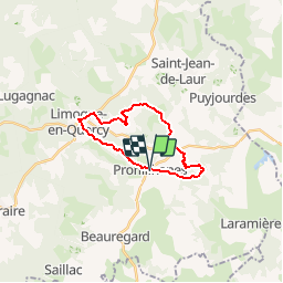

9,7 km | 11,8 km-effort


Utilisateur


Application GPS de randonnée GRATUITE
 SityTrail
IGN / Instituts géographiques
SityTrail World
Le monde est à vous
Randonnée Marche de 18,8 km à découvrir à Occitanie, Lot, Promilhanes. Cette randonnée est proposée par jab31.
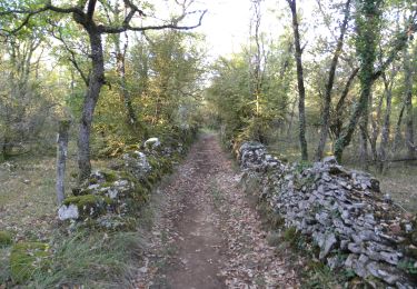
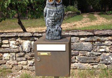
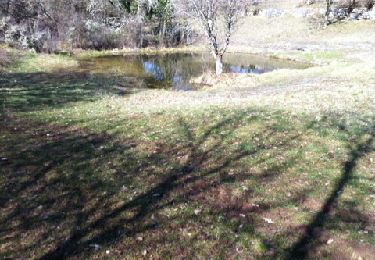
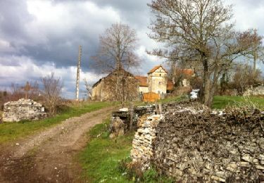
chemins du Causse

Marche
Marche
Marche

Marche
Marche
Marche
Marche
Marche