


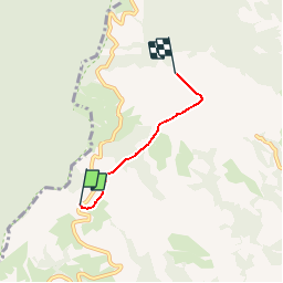

13,1 km | 22 km-effort


Utilisateur


Application GPS de randonnée GRATUITE
 SityTrail
IGN / Instituts géographiques
SityTrail World
Le monde est à vous
Randonnée Marche de 2,7 km à découvrir à Navarre, Inconnu, Baztan. Cette randonnée est proposée par sergedherin.
final par un chemin de croix
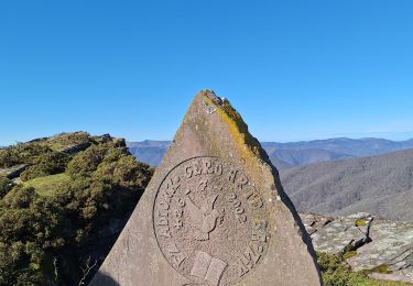
menhir
piolet souvenir au sommet
Marche

Marche