


3,9 km | 4,7 km-effort
Martinica: Scopri i migliori percorsi: 24 a piedi, 1533 marcia, 79 camminata nordica, 19 corsa a piedi e 44 sentiero. Tutti questi percorsi, itinerari e attività outdoor sono disponibili nelle nostre app SityTrail per smartphone e tablet.
Marcia


Marcia
Marcia
Marcia

Marcia
Marcia
Marcia
Marcia
Marcia
Marcia
Marcia

Marcia
Marcia
• marches pres des cannaies et des plages
Marcia
• Départ sur la N3. Randonnée en aller et retour sans difficulté particulière sauf en cas de pluie où le terrain devien...
Marcia
• marche
Marcia
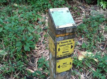
• Boucle
Marcia
Marcia
Marcia
Marcia
20 percorsi visualizzati su 1695
Applicazione GPS da escursionismo GRATUITA
 SityTrail
IGN / Istituti geografici
SityTrail World
Il mondo è tuo