Percorso Marcia Ivors - en forêt de Retz_35 _ Ivors_le rond Capitaine et les bruyères de Gondreville_AR - Photo

en forêt de Retz_35 _ Ivors_le rond Capitaine et les bruyères de Gondreville_AR

forêts de France

© OpenStreetMap contributors
Lunghezza
Lunghezza
31 km
Altitudine massima
Altitudine massima
175 m
Dislivello positivo
Dislivello positivo
404 m
Km-Effort
Km-Effort  
36 km
Altitudine minima
Altitudine minima
96 m
Dislivello negativo
Dislivello negativo
404 m
Boucle
Boucle
Sì
Data di creazione :
2018-12-03 18:23:22.917
Ultima modifica :
2020-11-08 11:13:45.164

(0 Recensione)

Marcia
Marcia
8h38
Difficoltà : Molto difficile

Scannerizza questo codice QR per aprire il percorso nell'applicazione SityTrail

Applicazione GPS da escursionismo GRATUITA

Logo SityTrail SityTrail

IGN / Istituti geografici

Scarica SityTrail dall'App Store Scarica SityTrail da Google Play

Logo SityTrail SityTrail World

Il mondo è tuo

Scarica SityTrail dall'App Store Scarica SityTrail da Google Play Scarica SityTrail da Huawei AppGallery

Chi siamo

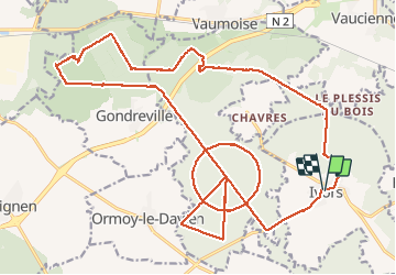
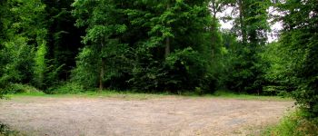
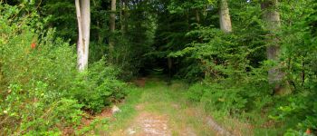
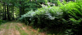
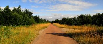
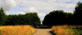
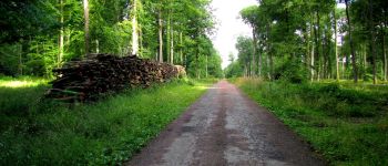
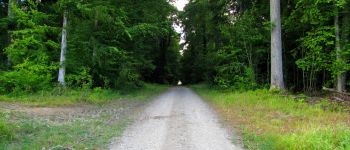
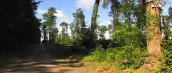
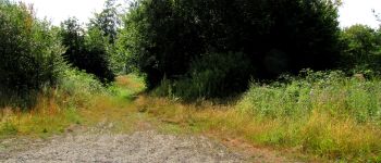
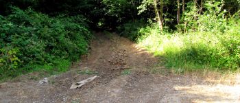
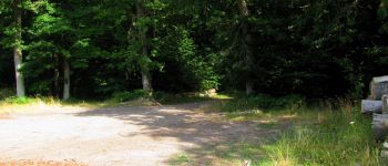
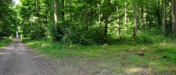
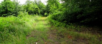
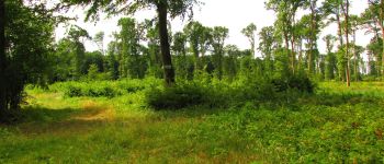
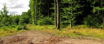
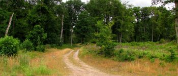
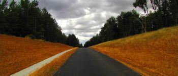
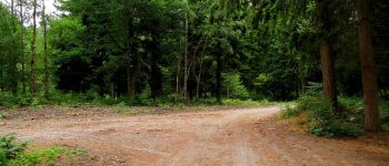
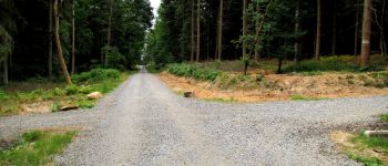
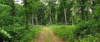
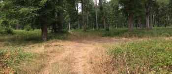
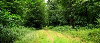
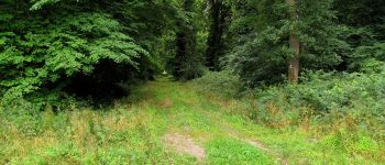
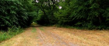
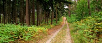
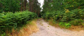
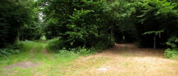
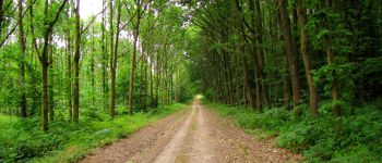
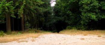
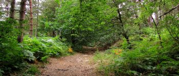
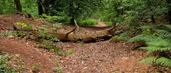
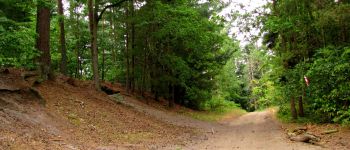
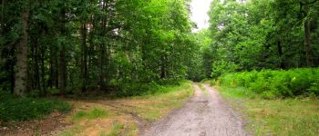
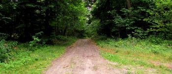
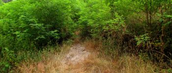
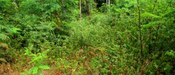
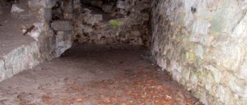
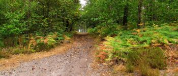
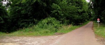
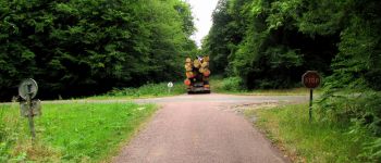
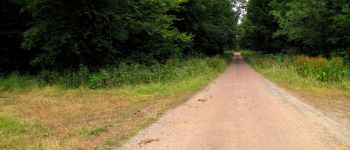
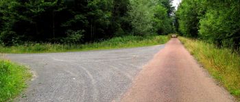
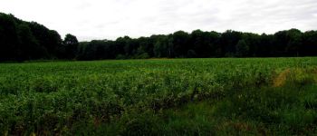
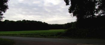
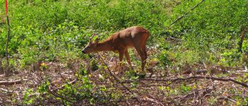
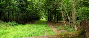
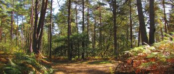
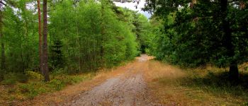
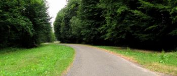
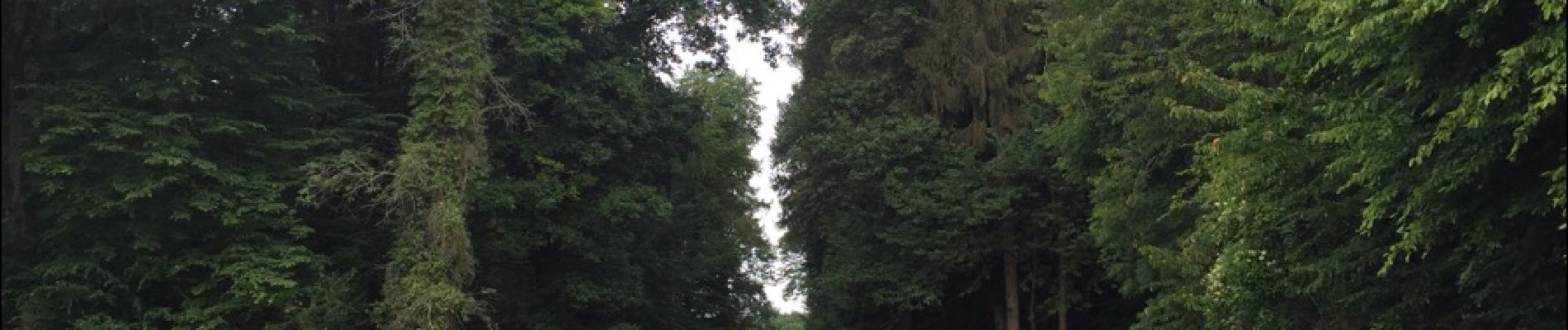
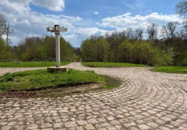
Percorso Marcia di 31 km da scoprire a Alta Francia, Oise, Ivors. Questo percorso è proposto da en forêt de Retz.

Descrizione

voir aussi:
http://foret-de-retz.over-blog.com/

07/2015

Batterie de rechange pour iphone obligatoire.

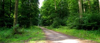
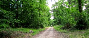
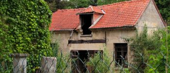
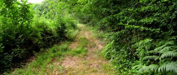
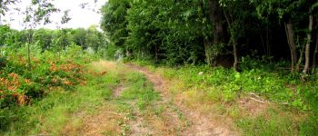
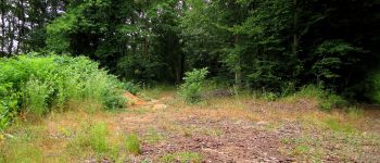
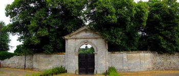
Au départ de l'église d'Ivors, suivre la D51 jusqu'à la route des quatorze frères. Continuer jusqu'au carrefour du Cheval Noir. Prendre à droite la laie tournante du Rond Capitaine jusqu'au carrefour de la Braze. Prendre à gauche la route des quatorze frères jusqu'au carrefour du Cheval Noir. Prendre à droite la laie tournante du Rond Capitaine jusqu'au carrefour de Cuvergnon. Prendre la laie de Cuvergnon jusqu'au carrefour Rond du Capitaine. Prendre la route d'Ormoy jusqu'au carrefour de la Pie. Suivre la laie du Chêne l'Officier jusqu'au carrefour du Chêne l'Officier. Prendre la laie de Cuvergnon jusqu'au carrefour de Cuvergnon. A gauche, suivre la laie tournante du Rond du Capitaine juqu'au carrefour de la Braze. Prendre la route des quatorze frères jusqu'à la maison forestière des quatorze frères. Traverser la N2, suivre le chemin tout droit et à la première intersection, prendre à gauche la laie St Lazare. Continuer jusqu'au carrefour La Folie. Prendre la laie des Grès jusqu'au carrefour de Crépy. Prendre la laie de Russy et à gauche la prochaine intersection en direction du chêne du Roi de Rome (coordonnées GPS nécessaires). Rejoindre la carrefour de Montigny à gauche et suivre la laie de Russy jusqu'au carrefour des Sables. Prendre à droite la laie de Gondreville jusqu'au carrefour des Bruyères. Suivre à gauche la laie de Crépy jusqu'au chemin de Gondreville à Vaumoise. Le suivre jusqu'au carrefour Dumont. Prendre à droite et traverser la N2 pour rejoindre la Cave du Diable puis le carrefour de la Cave du Diable. Allez au carrefour de la Tour du Grain, suivre  la Route de la Tour du Grain jusqu'à l'intersection avec la Route Droite. La suivre jusqu'au carrefour de la Cave du Diable. Prendre à droite et continuer jusqu'au carrefour d'Orléans. Suivre la Route Droite jusqu'à l'intersection avec la parcelle 1366.Continuer tout droit puis prendre à droite la laie de Vez pour rejoindre la route du Plessy-Le-Bois vers Ivors. Continuer pour arriver à l'église d'Ivors.

Profilo altimetrico

Punti di interesse

Punto di interesse Ivors - Point 3 - Photo
JeanLucA4
IVORS 
Punto di interesse Coyolles - Point 4 - Photo
JeanLucA4
COYOLLES 
Punto di interesse Coyolles - Point 5 - Photo
JeanLucA4
COYOLLES 
Punto di interesse Coyolles - Point 6 - Photo
JeanLucA4
COYOLLES 
Punto di interesse Coyolles - Point 7 - Photo
JeanLucA4
COYOLLES 
Punto di interesse Coyolles - Point 7 - Photo
JeanLucA4
COYOLLES 
Punto di interesse Coyolles - Point 8 - Photo
JeanLucA4
COYOLLES 
Punto di interesse Coyolles - Point 9 - Photo
JeanLucA4
COYOLLES 
Punto di interesse Coyolles - Point 10 - Photo
JeanLucA4
COYOLLES 
Punto di interesse Coyolles - Point 11 - Photo
JeanLucA4
COYOLLES 
Punto di interesse Coyolles - Unnamed POI - Photo
JeanLucA4
COYOLLES 
Punto di interesse Coyolles - Point 13 - Photo
JeanLucA4
COYOLLES 
Punto di interesse Coyolles - Point 15 - Photo
JeanLucA4
COYOLLES 
Punto di interesse Coyolles - Point 16 - Photo
JeanLucA4
COYOLLES 
Punto di interesse Coyolles - Point 17 - Photo
JeanLucA4
COYOLLES 
Punto di interesse Coyolles - Point 18 - Photo
JeanLucA4
COYOLLES 
Punto di interesse Coyolles - Point 19 - Photo
JeanLucA4
COYOLLES 
Punto di interesse Coyolles - Point 20 - Photo
JeanLucA4
COYOLLES 
Punto di interesse Coyolles - Point 21 - Photo
JeanLucA4
COYOLLES 
Punto di interesse Coyolles - Point 22 - Photo
JeanLucA4
COYOLLES 
Punto di interesse Coyolles - Point 23 - Photo
JeanLucA4
COYOLLES 
Punto di interesse Coyolles - Point 24 - Photo
JeanLucA4
COYOLLES 
Punto di interesse Coyolles - Point 25 - Photo
JeanLucA4
COYOLLES 
Punto di interesse Coyolles - Point 26 - Photo
JeanLucA4
COYOLLES 
Punto di interesse Gondreville - Point 28 - Photo
JeanLucA4
GONDREVILLE 
Punto di interesse Gondreville - Point 29 - Photo
JeanLucA4
GONDREVILLE 
Punto di interesse Gondreville - Point 30 - Photo
JeanLucA4
GONDREVILLE 
Punto di interesse Gondreville - Point 31 - Photo
JeanLucA4
GONDREVILLE 
Punto di interesse Gondreville - Point 32 - Photo
JeanLucA4
GONDREVILLE 
Punto di interesse Gondreville - Point 34 - Photo
JeanLucA4
GONDREVILLE 
Punto di interesse Gondreville - Point 35 - Photo
JeanLucA4
GONDREVILLE 
Punto di interesse Gondreville - Point 36 - Photo
JeanLucA4
GONDREVILLE 
Punto di interesse Gondreville - Point 37 - Photo
JeanLucA4
GONDREVILLE 
Punto di interesse Gondreville - Point 38 - Photo
JeanLucA4
GONDREVILLE 
Punto di interesse Gondreville - Point 39 - Photo
JeanLucA4
GONDREVILLE 
Punto di interesse Gondreville - Point 40 - Photo
JeanLucA4
GONDREVILLE 
Punto di interesse Gondreville - Point 41 - Photo
JeanLucA4
GONDREVILLE 
Punto di interesse Coyolles - Point 42 - Photo
JeanLucA4
COYOLLES 
Punto di interesse Coyolles - Point 43 - Photo
JeanLucA4
COYOLLES 
Punto di interesse Coyolles - Point 44 - Photo
JeanLucA4
COYOLLES 
Punto di interesse Coyolles - Point 45 - Photo
JeanLucA4
COYOLLES 
Punto di interesse Coyolles - Point 46 - Photo
JeanLucA4
COYOLLES 
Punto di interesse Coyolles - Point 47 - Photo
JeanLucA4
COYOLLES 
Punto di interesse Coyolles - Point 48 - Photo
JeanLucA4
COYOLLES 
Punto di interesse Coyolles - Point 50 - Photo
JeanLucA4
COYOLLES 
Punto di interesse Coyolles - Point 52 - Photo
JeanLucA4
COYOLLES 
Punto di interesse Coyolles - Point 54 - Photo
JeanLucA4
COYOLLES 
Punto di interesse Coyolles - Point 55 - Photo
JeanLucA4
COYOLLES 
Punto di interesse Coyolles - Point 56 - Photo
JeanLucA4
COYOLLES 
Punto di interesse Coyolles - Point 57 - Photo
JeanLucA4
COYOLLES 
Punto di interesse Coyolles - Point 58 - Photo
JeanLucA4
COYOLLES 
Punto di interesse Ivors - Point 59 - Photo
JeanLucA4
IVORS 
Punto di interesse Ivors - Point 60 - Photo
JeanLucA4
IVORS 
Punto di interesse Ivors - Point 61 - Photo
JeanLucA4
IVORS 
Punto di interesse Ivors - Point 62 - Photo
JeanLucA4
IVORS 
Punto di interesse Ivors - Point 63 - Photo
JeanLucA4
IVORS 
Punto di interesse Ivors - Point 1 - Photo
JeanLucA4
IVORS 
Punto di interesse Coyolles - Point 2 - Photo
JeanLucA4
COYOLLES 
Punto di interesse Coyolles - Point 14 - Photo
JeanLucA4
COYOLLES 
Punto di interesse Gondreville - Point 33 - Photo
JeanLucA4
GONDREVILLE 
Punto di interesse Coyolles - Unnamed POI - Photo
JeanLucA4
COYOLLES 
Punto di interesse Coyolles - Point 51 - Photo
JeanLucA4
COYOLLES 
Punto di interesse Coyolles - Point 53 - Photo
JeanLucA4
COYOLLES 

Localizzazione

Paese:
France
Regione :
Alta Francia
Dipartimento/Provincia :
Oise
Comune :
Ivors
Località :
Unknown
Partenza:(Dec)
Partenza:(UTM)
501075 ; 5449756 (31U) N.

Percorsi nelle vicinanze

Percorso Marcia Ormoy-le-Davien - 140722 - Ormoy le Davien - Etan de Wallu - Photo
Marcia
Vadim

Marcia

Medio
Ormoy-le-Davien, Alta Francia, Oise, France
24 km | 29 km-effort
5h 2min
Sì
Percorso Marcia Ormoy-le-Davien - 060722 - Petite rando 10 km - Photo
Marcia
Vadim

Marcia

Ormoy-le-Davien, Alta Francia, Oise, France
10,2 km | 12,1 km-effort
1h 53min
Sì
Percorso Mountainbike Ormoy-le-Davien - 130522 - Boucle VTT - Ormoy le davien en passant par le canal de l'Ourc - Photo
Mountainbike
Vadim

Mountainbike

Facile
Ormoy-le-Davien, Alta Francia, Oise, France
35 km | 40 km-effort
2h 41min
Sì
Percorso Marcia Ormoy-le-Davien - 060522 - Ormoy le Davien - La Ferté Milon - Photo
Marcia
Vadim

Marcia

Difficile
Ormoy-le-Davien, Alta Francia, Oise, France
32 km | 38 km-effort
6h 42min
Sì
Percorso Marcia Ormoy-le-Davien - 040522 - Boucle Ormoy le Davien - Moulin de Wallu... - Photo
Marcia
Vadim

Marcia

Difficile
(1)
Ormoy-le-Davien, Alta Francia, Oise, France
25 km | 30 km-effort
4h 51min
Sì
Percorso Marcia Ormoy-le-Davien - 030422 - Direction Vaucienne puis Vaumoise et Cave du diable - Photo
Marcia
Vadim

Marcia

Medio
Ormoy-le-Davien, Alta Francia, Oise, France
17 km | 21 km-effort
3h 30min
Sì
Percorso Marcia Ormoy-le-Davien - 290422 - Boucle Ormoy le Davien - au dessus de Chavre - Photo
Marcia
Vadim

Marcia

Facile
Ormoy-le-Davien, Alta Francia, Oise, France
12,9 km | 15,3 km-effort
2h 25min
Sì
Percorso Marcia Ormoy-le-Davien - Ormoy - Cave du diable  - Photo
Marcia
Vadim

Marcia

Facile
Ormoy-le-Davien, Alta Francia, Oise, France
13,6 km | 16 km-effort
2h 29min
Sì
Percorso Marcia Ormoy-le-Davien - Boucle départ Ormoy le Davien 60620 - Foret de Retz - Photo
Marcia
Vadim

Marcia

Molto facile
Ormoy-le-Davien, Alta Francia, Oise, France
10,4 km | 12,3 km-effort
2h 6min
Sì


Chiudi
I miei abbonamenti