


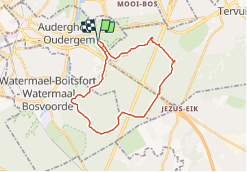


13,6 km | 16,2 km-effort

Utilisateur GUIDE


Application GPS de randonnée GRATUITE
 SityTrail
IGN / Instituts géographiques
SityTrail World
Le monde est à vous
Randonnée Marche de 13,9 km à découvrir à Bruxelles-Capitale, Inconnu, Auderghem. Cette randonnée est proposée par Desrumaux.
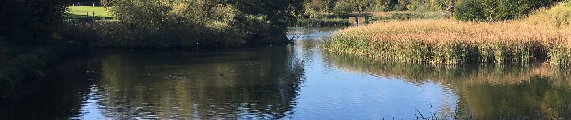
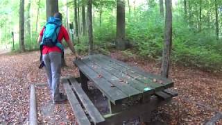
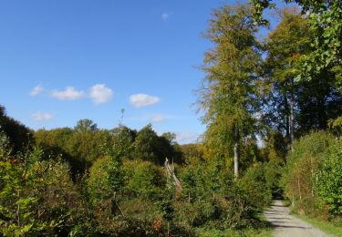
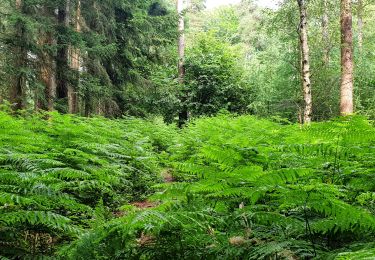
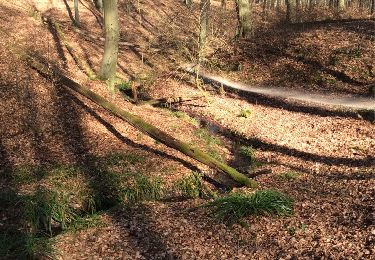
Situé à quelques kilomètres de Bruxelles et à l'orée de la forêt de Soignes, le site de Rouge-Cloître est un lieu exceptionnel chargé d’ histoire , idéal pour une balade découverte en famille.
Départ : rue du Rouge-Cloître à Auderghem


Marche

Marche

Marche

V.T.T.
Marche

Marche

Marche
Marche
Marche