


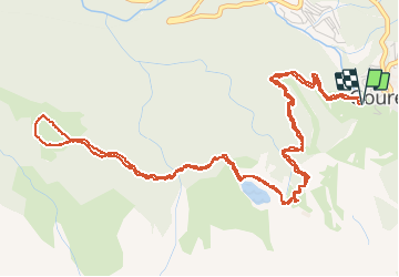


6,7 km | 12,3 km-effort

Gebruiker


Gratisgps-wandelapplicatie
 SityTrail
IGN / Geografische instituten
SityTrail World
De wereld gaat voor u open
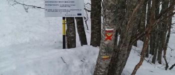
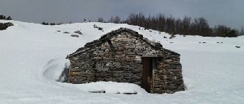
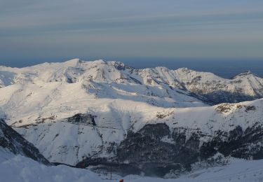
Tocht Sneeuwschoenen van 8,7 km beschikbaar op Nieuw-Aquitanië, Pyrénées-Atlantiques, Eaux-Bonnes. Deze tocht wordt voorgesteld door PVERTICAL.
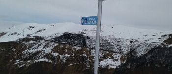
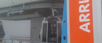
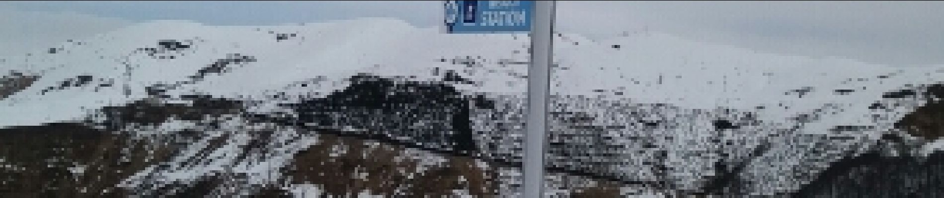
depuis la station de ski de Gourette - parking gratuit avant la station et prendre les télécabine (gratuit) pour le départ


Te voet

Stappen

Te voet
Te voet
Te voet
Te voet
Stappen
Stappen
Stappen