


12,8 km | 15,8 km-effort
Charleroi: Ontdek de beste tochten: 263 stappen, 5 lopen, 53 noords wandelen, 3 trail en 10 te voet. Al deze tochten, trajecten, routes en outdoor activiteiten zijn beschikbaar in onze SityTrail-apps voor smartphones en tablets.
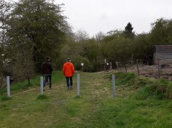
Stappen


Stappen
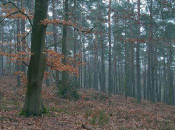
Stappen
Stappen
• Ham-sur-Heure – Nalinnes – Marcinelle – Jamioulx – Ham-sur-Heure On associe tout naturellement le pays de Charleroi ...
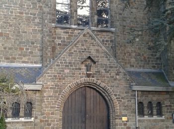
Stappen
Stappen
• Ham-sur-Heure – Nalinnes – Jamioulx – Ham-sur-Heure On associe tout naturellement le pays de Charleroi au « Pays Noi...
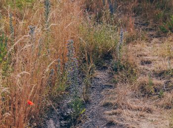
Stappen
• boucle dans le quartier

Stappen
• Détails de la rando sur TraceGPS.com http://www.tracegps.com/fr/parcours/circuit11743.htm
Stappen
• Détails de la rando sur TraceGPS.com http://www.tracegps.com/fr/parcours/circuit11706.htm
Stappen
Stappen
Stappen

Te voet
• Trail created by Pays de Charleroi. Deze wandeling onthult u de verschillende typische gezichten van een voormali...

Te voet
• Trail created by Pays de Charleroi. Enkele tientallen meter achter de parking openbaart zich een heel ander Charl...
Te voet
• Trail created by Pays de Charleroi. Via een stuk weg dat voorafgaat aan het RAVeL kunt u zich opwarmen alvorens u...
Stappen
Stappen
Stappen
Stappen
Stappen
20 tochten weergegeven op 333
Gratisgps-wandelapplicatie
 SityTrail
IGN / Geografische instituten
SityTrail World
De wereld gaat voor u open