


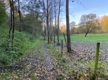
3,7 km | 4,1 km-effort
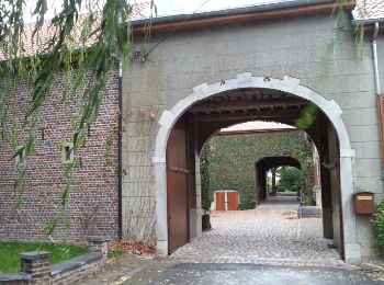
Landen: Ontdek de beste tochten: 10 te voet, 29 stappen en 1 noords wandelen. Al deze tochten, trajecten, routes en outdoor activiteiten zijn beschikbaar in onze SityTrail-apps voor smartphones en tablets.
Te voet


• Toegankelijk voor rolstoel en buggy
Te voet
• Trail created by Provincie Vlaams Brabant.

Stappen
Stappen
Te voet

Te voet
Stappen
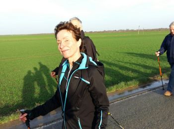
Noords wandelen
Stappen
•
Te voet
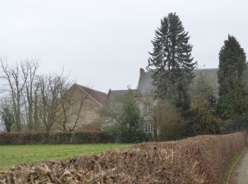
• Wandeling van Rumsdorp - Neerlanden - Attenhoven. De Panbruggewandeling.
Te voet
• Wandeling van Rumsdorp - Neerlanden - Attenhoven. De Panbruggewandeling.

Stappen
Stappen
• Marche FFBMP.
Stappen
• Bijna constant tussen de boomgaarden, op rustige verharde landwegen. Mooie panoramadak omdat de appel- en perebomen n...
Stappen
• More information on : http://www.wandelroutes.org
Stappen
• More information on : http://www.wandelroutes.org
Stappen
• More information on : http://www.wandelroutes.org
Stappen
• More information on : http://www.wandelroutes.org
Stappen
• More information on : http://www.wandelroutes.org
Stappen
20 tochten weergegeven op 40
Gratisgps-wandelapplicatie
 SityTrail
IGN / Geografische instituten
SityTrail World
De wereld gaat voor u open