


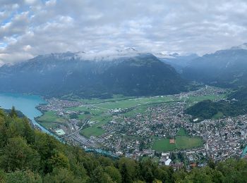
18,1 km | 33 km-effort
Luzern: Ontdek de beste tochten: 234 te voet en 21 stappen. Al deze tochten, trajecten, routes en outdoor activiteiten zijn beschikbaar in onze SityTrail-apps voor smartphones en tablets.
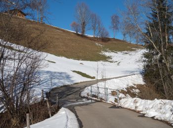
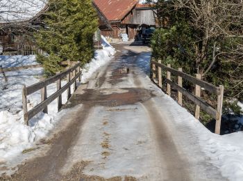
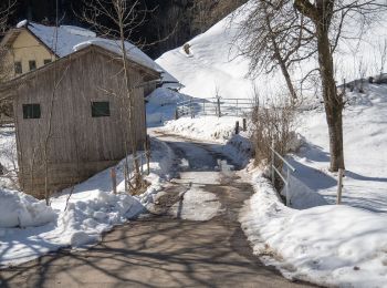
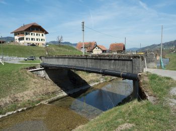
Te voet


• Anspruch: sehr schwierig ✔︎ Aufstieg: 1029 m ✔︎ Wandern mit Einkehrmöglichkeit. Größtes Outdoorportal im Alpenraum! ...
Te voet
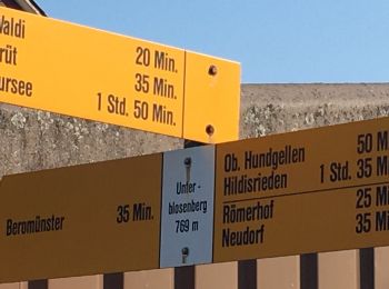
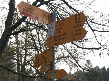
• Symbol: gelbe Raute
Te voet
• Symbol: gelber Rhombus
Te voet
• Symbol: gelbe Raute
Te voet
• Trail created by Luzerner Wanderwege. Symbol: gelber Rhombus
Te voet
• Trail created by Luzerner Wanderwege. Udligenswil - Chli Äbnet Symbol: gelber Rhombus

Te voet
• Trail created by Luzerner Wanderwege. Gisikon Root - Perlen Symbol: gelber Rhombus
Te voet
• Trail created by Luzerner Wanderwege. Buchrain - Root Symbol: gelber Rhombus
Te voet
• Trail created by Luzerner Wanderwege. Luzern - Talacheri Symbol: gelber Rhombus
Te voet
• Luswald - Obstaldenegg Symbol: gelber Rhombus
Te voet
• Escholzmatt - Gmeinwerch Symbol: gelber Rhombus
Te voet
• Turner - Escholzmatt Symbol: gelber Rhombus
Te voet
• Escholzmatt - Turner Symbol: gelber Rhombus
Te voet
• Luswald - Bodenmatt Symbol: gelber Rhombus
Te voet
• Schloss Heidegg - Kleinwangen Symbol: gelber Diamant

Te voet
• Stäfeli - Wassermoos Symbol: gelber Rhombus
Te voet
• Wittenschwändi - Schwandacher Symbol: gelber Diamant
Te voet
• Rengg - Ännigen Symbol: gelber Rhombus
Te voet
• Obere Stalde - Willisau Symbol: gelber Rhombus
Te voet
• Trail created by Luzerner Wanderwege. Neuenkirch - Hellbühl Symbol: gelber Diamant
20 tochten weergegeven op 255
Gratisgps-wandelapplicatie
 SityTrail
IGN / Geografische instituten
SityTrail World
De wereld gaat voor u open