


9,9 km | 13,5 km-effort
Brilon: Ontdek de beste tochten: 15 te voet. Al deze tochten, trajecten, routes en outdoor activiteiten zijn beschikbaar in onze SityTrail-apps voor smartphones en tablets.

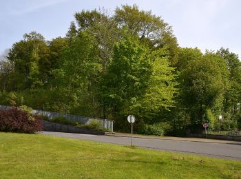
Te voet


• Trail created by Sauerländischer Gebirgsverein.
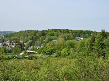
Te voet
• Trail created by Wanderverband Hessen. Website: http://www.wanderverband-hessen.de/hessenwege.htm
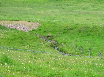
Te voet
• Trail created by Sauerländischer Gebirgsverein Brilon.
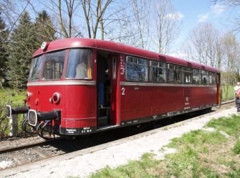
Te voet
• Der Briloner Kammweg führt auf 49 km durch atemberaubende Landschaft von Brilon über Willingen und zurück. Mehrfach z...
Te voet
• Trail created by Sauerländischer Gebirgsverein Brilon.
![Tocht Te voet Brilon - [A4] Rundwanderweg](https://media.geolcdn.com/t/350/260/ext.jpg?maxdim=2&url=https%3A%2F%2Fmedia.geolcdn.com%2Ff%2F91e07af0-a187-47fd-99c0-715dc3f8b20c.jpeg)
Te voet
• Trail created by Sauerländischer Gebirgsverein. Symbol: Weißes A4 auf schwarzem Grund
Te voet
Te voet
Te voet
Te voet

Te voet
• Trail created by Sauerländischer Gebirgsverein (SGV).

Te voet
Te voet

Te voet
Te voet
15 tochten weergegeven op 15
Gratisgps-wandelapplicatie
 SityTrail
IGN / Geografische instituten
SityTrail World
De wereld gaat voor u open