


22 km | 37 km-effort
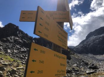
Val-Cenis: Ontdek de beste tochten: 13 te voet, 393 stappen, 3 noords wandelen, 12 lopen en 4 trail. Al deze tochten, trajecten, routes en outdoor activiteiten zijn beschikbaar in onze SityTrail-apps voor smartphones en tablets.
Stappen


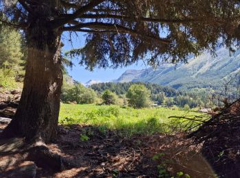
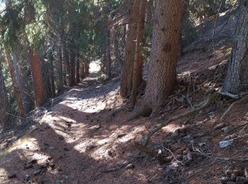
Te voet
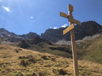
• Trail created by Parc National de la Vanoise.

Stappen
Stappen

Stappen
Stappen
Stappen
Stappen
Stappen
Stappen

Stappen
Stappen

Stappen
Stappen

Stappen
Stappen
Stappen
Stappen
Stappen

Stappen
20 tochten weergegeven op 425
Gratisgps-wandelapplicatie
 SityTrail
IGN / Geografische instituten
SityTrail World
De wereld gaat voor u open