


21 km | 41 km-effort
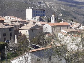
Cipières: Ontdek de beste tochten: 5 te voet en 35 stappen. Al deze tochten, trajecten, routes en outdoor activiteiten zijn beschikbaar in onze SityTrail-apps voor smartphones en tablets.
Te voet


• Randonnée pédestre - Au départ de Gourdon, Pont du Loup (188 m) Website: https://randoxygene.departement06.fr/traver...
Te voet
• Randonnée pédestre - Au départ de Gourdon, Pont du Loup (188 m) Website: https://randoxygene.departement06.fr/traver...
Te voet
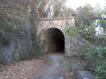
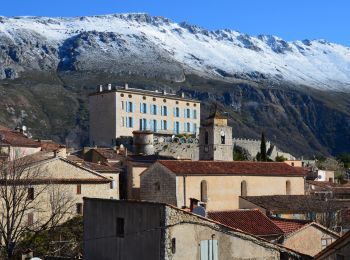
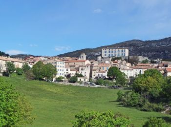
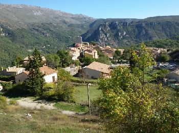
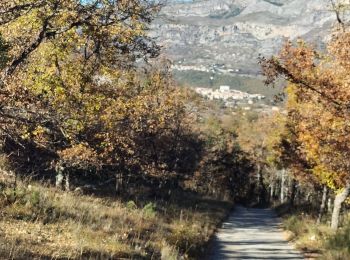
• Randonnée pédestre - Au départ de Cipières (750 m) Website: https://randoxygene.departement06.fr/siagne-loup/plateau...
Stappen
Stappen
Stappen
Te voet
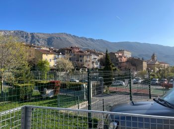
• Randonnée pédestre - Au départ de Cipières (750 m) Website: https://randoxygene.departement06.fr/siagne-loup/collet-...
Stappen
Stappen
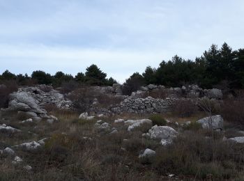
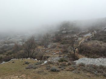
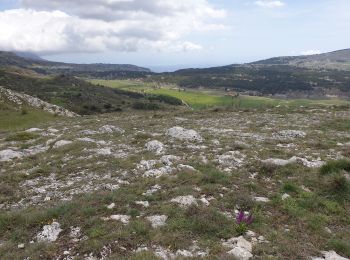
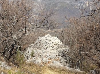
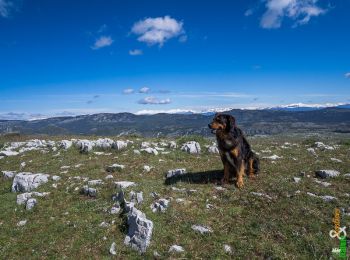
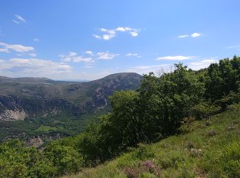
• Très beau plateau karstique. Restanques, Boris nombreuses bergeries
Stappen
Stappen

Te voet
Stappen

Stappen
Stappen
Stappen
Stappen
Stappen

Stappen
• circuit
Stappen
20 tochten weergegeven op 40
Gratisgps-wandelapplicatie
 SityTrail
IGN / Geografische instituten
SityTrail World
De wereld gaat voor u open