


5,5 km | 6,2 km-effort
Vorarlberg: Ontdek de beste tochten: 36 te voet en 4 met de fiets of mountainbike. Al deze tochten, trajecten, routes en outdoor activiteiten zijn beschikbaar in onze SityTrail-apps voor smartphones en tablets.

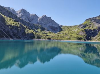
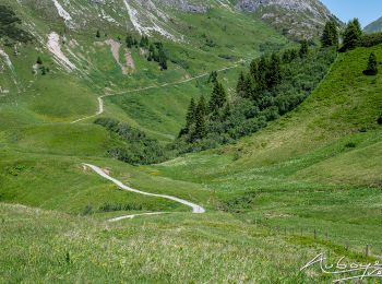
Te voet


• Symbol: BeWegung Begegnung Website: http://www.bewegung-begegnung.net/
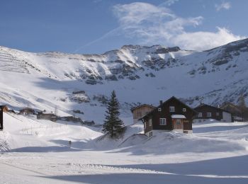
Stappen
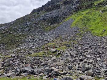
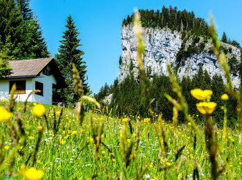
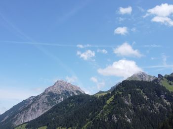
Te voet
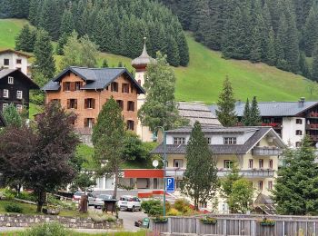
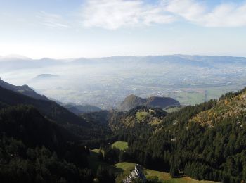
Te voet
Stappen
Stappen
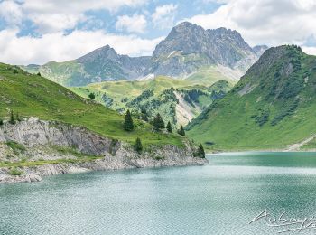
Te voet
Te voet
Te voet
Te voet
Te voet
Te voet
Te voet
Mountainbike

Stappen

Stappen
•
Stappen
•
Stappen
•
Stappen
•
Stappen
•
20 tochten weergegeven op 52
Gratisgps-wandelapplicatie
 SityTrail
IGN / Geografische instituten
SityTrail World
De wereld gaat voor u open