


8,4 km | 13,5 km-effort
Lombardije: Ontdek de beste tochten: 1.119 te voet en 19 met de fiets of mountainbike. Al deze tochten, trajecten, routes en outdoor activiteiten zijn beschikbaar in onze SityTrail-apps voor smartphones en tablets.
Te voet


• Trail created by Vivilavalsabbia.
Te voet
• Trail created by Sci di fondo Gaver.
Te voet
• Trail created by Parco lombardo della Valle del Ticino.
Te voet
• Trail created by Comune di Roè Volciano.
Te voet
• Trail created by Parco dell'Adamello.
Te voet
• Symbol: red-white-red vertical stripes with a black text "4"
Te voet
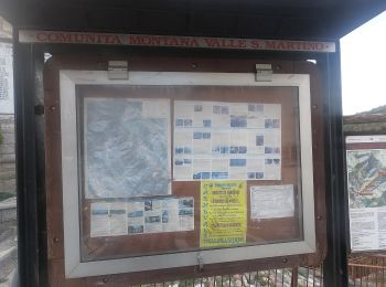
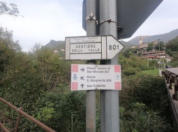
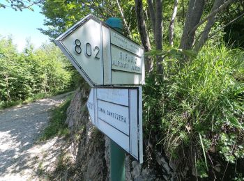
• Trail created by Comunità Montana Valle San Martino.
Te voet
• Trail created by Comunità Montana Valle San Martino.
Te voet
• Trail created by Comunità Montana Valle San Martino.
Te voet
• Trail created by Comune di Torre de Busi.
Te voet
• Trail created by Comunità Montana Valle San Martino.
Te voet
• Trail created by Comunità Montana Valle San Martino.
Te voet
• Trail created by Comunità Montana Valle San Martino.
Te voet
• Trail created by Comunità Montana Valle San Martino.
Te voet
• Trail created by Comunità Montana Valle San Martino.
Te voet
• Trail created by Comunità Montana Valle San Martino.
Te voet
• Trail created by Comunità Montana Valle San Martino.
Te voet
• Trail created by Comunità Montana Valle San Martino.
Te voet
• Antiche Tracce è un percorso ad anello su mulattiere e su sentieri che porta alla scoperta di Berbenno, ideato dalla ...
Te voet
• Verificato estate 2020. Website: https://forum.valbrembanaweb.com/trekking-escursioni-valle-brembana-orobie-f87/ve...
20 tochten weergegeven op 1152
Gratisgps-wandelapplicatie
 SityTrail
IGN / Geografische instituten
SityTrail World
De wereld gaat voor u open