


5,8 km | 8,2 km-effort
Algarve: Ontdek de beste tochten: 248 te voet, 18 met de fiets of mountainbike en 1 te paard. Al deze tochten, trajecten, routes en outdoor activiteiten zijn beschikbaar in onze SityTrail-apps voor smartphones en tablets.
Stappen


Stappen
Stappen
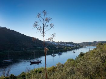
Te voet
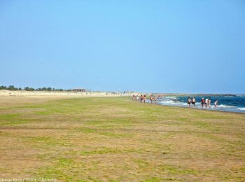
• Trail created by Câmara Municipal de Castro Marim / Odiana. Sem marcação
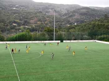
Te voet
• Trail created by Odiana.
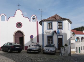
Te voet
• Trail created by Odiana.
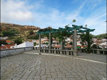
Te voet
• Trail created by Loulé concelho. Website: http://cms.cm-loule.pt/upload_files/client_id_1/website_id_1/files/Turis...
Te voet
• Trail created by Almargem. Symbol: White bag inside Orange circle
Te voet
• Trail created by Almargem. Parte inicial linear e posteriormente circular Symbol: White bag inside Orange circle
Te voet
• Trail created by Almargem. Symbol: Tree inside Green circle
Te voet
• Trail created by Almargem. Symbol: Tree inside Green circle
Te voet
• Trail created by Almargem. Symbol: Tree inside Green circle
Te voet
• Trail created by Almargem. Symbol: Mountain inside Orange circle
Te voet
• Trail created by Almargem. Symbol: Mountain inside Orange circle
Te voet
• Trail created by Agência Portuguesa do Ambiente.
Te voet
• Trail created by Rota Vicentina.
Te voet
• Trail created by Camara Municipal de Olhao.
Te voet
• Trail created by Câmara Municipal de Loulé.
Te voet
• Symbol: Yellow over Red
Te voet
• Trail created by Câmara Municipal de Loulé.
20 tochten weergegeven op 262
Gratisgps-wandelapplicatie
 SityTrail
IGN / Geografische instituten
SityTrail World
De wereld gaat voor u open