


PRALOGNAN - Cirque de Genépy.

AndreLACOMBE
Gebruiker

Lengte
13,4 km

Max. hoogte
2473 m

Positief hoogteverschil
765 m
Km-Effort
24 km

Min. hoogte
1751 m

Negatief hoogteverschil
767 m
Boucle
Ja
Datum van aanmaak :
2019-01-15 13:05:01.441
Laatste wijziging :
2019-01-15 13:05:01.441
7h44
Moeilijkheid : Medium

Gratisgps-wandelapplicatie
 SityTrail
IGN / Geografische instituten
SityTrail Plus
De wereld gaat voor u open
Over ons
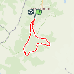
Tocht Stappen van 13,4 km beschikbaar op Auvergne-Rhône-Alpes, Savoie, Pralognan-la-Vanoise. Deze tocht wordt voorgesteld door AndreLACOMBE.
Beschrijving
Boucle au départ de Pont de la Pêche.
Plaatsbepaling
Land:
France
Regio :
Auvergne-Rhône-Alpes
Departement/Provincie :
Savoie
Gemeente :
Pralognan-la-Vanoise
Locatie:
Unknown
Vertrek:(Dec)
Vertrek:(UTM)
319425 ; 5023269 (32T) N.
Opmerkingen