Tocht Stappen Lanta - Folies à St Anatoly - Photo

Folies à St Anatoly

 tracegps
tracegps

Gebruiker

© OpenStreetMap contributors
Lengte
Lengte
12,9 km
Max. hoogte
Max. hoogte
276 m
Positief hoogteverschil
240 m
Km-Effort
Km-Effort  
16,1 km
Min. hoogte
Min. hoogte
192 m
Negatief hoogteverschil
240 m
Boucle
Boucle
Ja
Datum van aanmaak :
2014-12-10 00:00:00.0
Laatste wijziging :
2014-12-10 00:00:00.0

(1 Bericht)

Stappen
Stappen
2h19
Moeilijkheid : Medium

Scan deze QR-code om de tocht te openen in de SityTrail-applicatie

Gratisgps-wandelapplicatie

Logo SityTrail SityTrail

IGN / Geografische instituten

SityTrail uit de App Store downloaden SityTrail uit Google Play downloaden

Logo SityTrail SityTrail World

De wereld gaat voor u open

SityTrail uit de App Store downloaden SityTrail uit Google Play downloaden SityTrail op Huawei AppGallery downloaden

Over ons

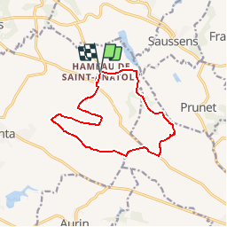
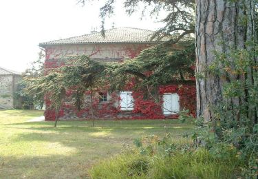
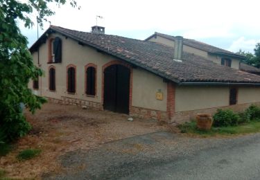
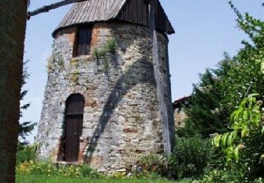
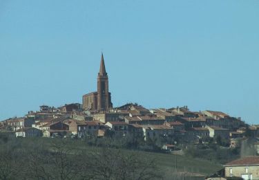
Tocht Stappen van 12,9 km beschikbaar op Occitanië, Haute-Garonne, Lanta. Deze tocht wordt voorgesteld door tracegps.

Hoogteprofiel

Foto's

Plaatsbepaling

Land:
France
Regio :
Occitanië
Departement/Provincie :
Haute-Garonne
Gemeente :
Lanta
Locatie:
Unknown
Vertrek:(Dec)
Vertrek:(UTM)
394536 ; 4825903 (31T) N.

Opmerkingen

Gelieve in te loggen om een commentaar of een beoordeling achter te laten


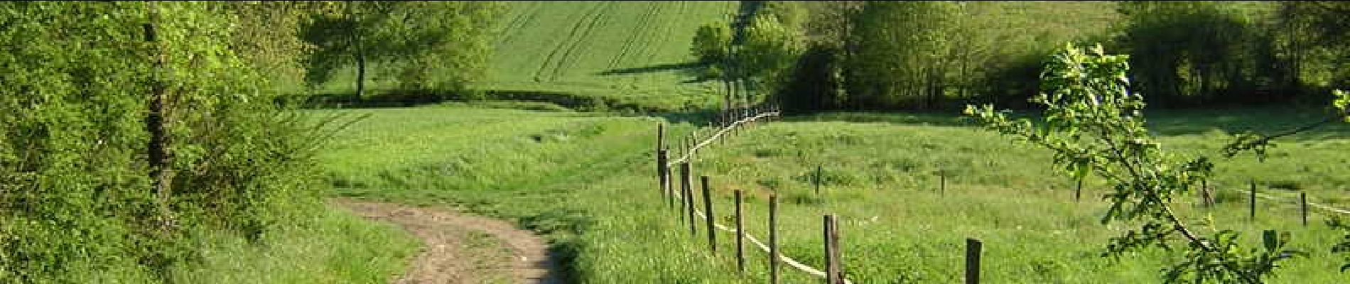
Balade agréable un peu d'hésitation pour les passage le long des champs(bien choisir l'époque )


Wandeltochten in de omgeving

Tocht Stappen Vallesvilles - 18/02/20 - Photo
Stappen
arnoultjf

Stappen

Heel gemakkelijk
Vallesvilles, Occitanië, Haute-Garonne, France
10,5 km | 12,7 km-effort
2h 8min
Ja
Tocht Lopen Aurin - Autour du Lac de St Sernin - Photo
Lopen
tracegps

Lopen

Moeilijk
Aurin, Occitanië, Haute-Garonne, France
15,7 km | 19,5 km-effort
1h 45min
Ja
Tocht Stappen Aurin - Autour du Lac de St Sernin - Photo
Stappen
tracegps

Stappen

Moeilijk
Aurin, Occitanië, Haute-Garonne, France
15,7 km | 19,5 km-effort
3h 0min
Ja
Tocht Lopen Gauré - Coup de pompes à La Balerme - Photo
Lopen
tracegps

Lopen

Zeer moeilijk
Gauré, Occitanië, Haute-Garonne, France
27 km | 33 km-effort
2h 30min
Ja
Tocht Stappen Gauré - Coup de pompes à La Balerme - Photo
Stappen
tracegps

Stappen

Zeer moeilijk
Gauré, Occitanië, Haute-Garonne, France
27 km | 33 km-effort
6h 0min
Ja
Tocht Stappen Lanta - 270421 - Photo
Stappen
arnoultjf

Stappen

Heel gemakkelijk
Lanta, Occitanië, Haute-Garonne, France
11,5 km | 14 km-effort
2h 35min
Ja
Tocht Lopen Lanta - Lanta St Pierre de Lages - Photo
Lopen
tracegps

Lopen

Medium
Lanta, Occitanië, Haute-Garonne, France
12,8 km | 15,7 km-effort
1h 10min
Ja
Tocht Lopen Mascarville - De Marceillac à Prunet - Photo
Lopen
tracegps

Lopen

Medium
Mascarville, Occitanië, Haute-Garonne, France
11,5 km | 14,4 km-effort
1h 4min
Ja
Tocht Lopen Lanta - Lanta par Caraman - Photo
Lopen
tracegps

Lopen

Zeer moeilijk
Lanta, Occitanië, Haute-Garonne, France
26 km | 32 km-effort
2h 45min
Ja


Sluiten
Mijn abonnementen