


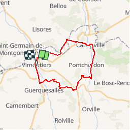
Espace VTT FFC du Pays d'Auge Ornais - Circuit n°6 - Sources et Fontaines

tracegps
Gebruiker


2h00
Moeilijkheid : Moeilijk

Gratisgps-wandelapplicatie
 SityTrail
IGN / Geografische instituten
SityTrail Plus
De wereld gaat voor u open
Over ons
Tocht Mountainbike van 22 km beschikbaar op Normandië, Orne, Vimoutiers. Deze tocht wordt voorgesteld door tracegps.
Beschrijving
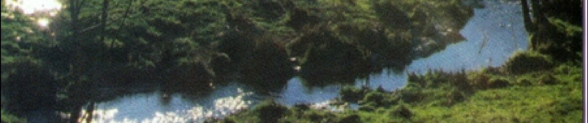
Espace VTT FFC du Pays d’Auge Ornais Circuit labellisé par la Fédération Française de Cyclisme. Sportifs, la Suisse Normande vous ravira. Des gorges vertigineuses de Saint-Aubert aux lignes de crêtes panoramiques, la Suisse Normande offre un large choix de randonnées sportives aux Vttistes et randonneurs. Du haut de la Roche d’Oëtre, point culminant des Montagnes de Normandie, offrez-vous un inoubliable panorama sur la vallée de la Rouvre pour un week-end dans l'Orne.
Foto's

Plaatsbepaling
Opmerkingen