


11,7 km | 13,2 km-effort


Gebruiker


Gratisgps-wandelapplicatie
 SityTrail
IGN / Geografische instituten
SityTrail World
De wereld gaat voor u open
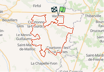
Tocht Mountainbike van 44 km beschikbaar op Normandië, Calvados, Marolles. Deze tocht wordt voorgesteld door tracegps.
Départ : devant l'Église Très beau parcours proposé par l'équipe des vététistes de Marolles. Montées difficiles, descentes technique et grisantes... tout est réuni pour satisfaire les adeptes du tout terrain.
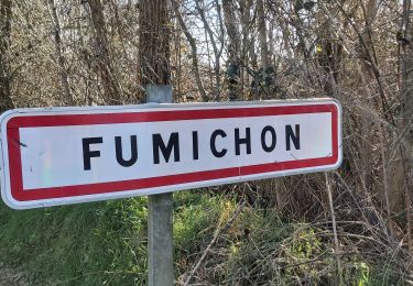
Stappen
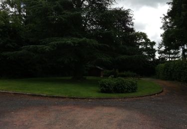
Stappen

Andere activiteiten
Stappen
Stappen
Stappen

Stappen

Stappen

Stappen