


Blanmont - N 29 Carpooling 10 GRP 127 18 09 2018

ThierryGABRIEL
Gebruiker


Lengte
21 km

Max. hoogte
161 m

Positief hoogteverschil
216 m
Km-Effort
24 km

Min. hoogte
95 m

Negatief hoogteverschil
185 m
Boucle
Neen
Datum van aanmaak :
2019-01-15 16:29:49.435
Laatste wijziging :
2019-01-15 16:29:49.435
7h11
Moeilijkheid : Gemakkelijk

Gratisgps-wandelapplicatie
 SityTrail
IGN / Geografische instituten
SityTrail Plus
De wereld gaat voor u open
Over ons
Tocht Stappen van 21 km beschikbaar op Wallonië, Waals-Brabant, Chastre. Deze tocht wordt voorgesteld door ThierryGABRIEL.
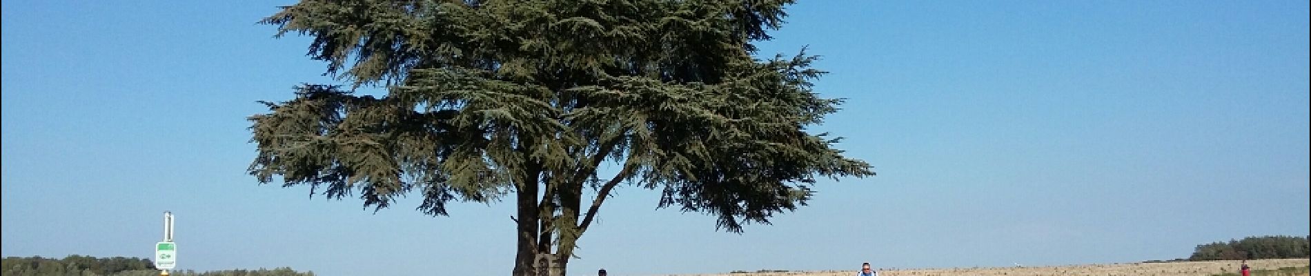
Foto's


Plaatsbepaling
Land:
Belgium
Regio :
Wallonië
Departement/Provincie :
Waals-Brabant
Gemeente :
Chastre
Locatie:
Chastre-Villeroux-Blanmont
Vertrek:(Dec)
Vertrek:(UTM)
615711 ; 5608874 (31U) N.
Opmerkingen