Circuit de la feuille de vigne - Pamproux

tracegps
Gebruiker
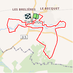

Lengte
11 km

Max. hoogte
115 m

Positief hoogteverschil
123 m
Km-Effort
12,6 km

Min. hoogte
82 m

Negatief hoogteverschil
122 m
Boucle
Ja
Datum van aanmaak :
2014-12-10 00:00:00.0
Laatste wijziging :
2014-12-10 00:00:00.0
2h45
Moeilijkheid : Medium

Gratisgps-wandelapplicatie
 SityTrail
IGN / Geografische instituten
SityTrail Plus
De wereld gaat voor u open
Over ons
Tocht Stappen van 11 km beschikbaar op Nieuw-Aquitanië, Deux-Sèvres, Pamproux. Deze tocht wordt voorgesteld door tracegps.
Beschrijving
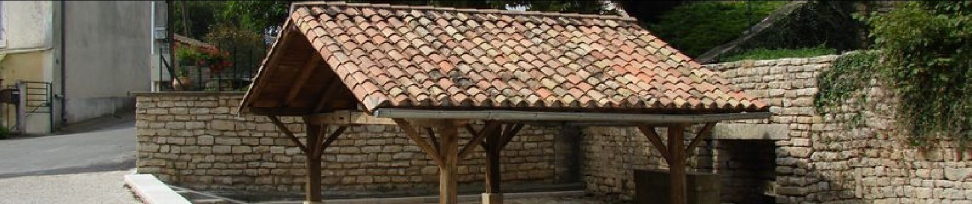
Circuit proposé par la commune de Pamproux . Départ de l’église de Pamproux.
Foto's


Plaatsbepaling
Land:
France
Regio :
Nieuw-Aquitanië
Departement/Provincie :
Deux-Sèvres
Gemeente :
Pamproux
Locatie:
Unknown
Vertrek:(Dec)
Vertrek:(UTM)
726248 ; 5142142 (30T) N.
Opmerkingen