


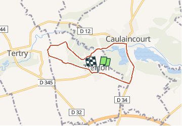

5,7 km | 6,4 km-effort


Gebruiker


Gratisgps-wandelapplicatie
 SityTrail
IGN / Geografische instituten
SityTrail World
De wereld gaat voor u open
Tocht Stappen van 5,7 km beschikbaar op Hauts-de-France, Aisne, Trefcon. Deze tocht wordt voorgesteld door tracegps.
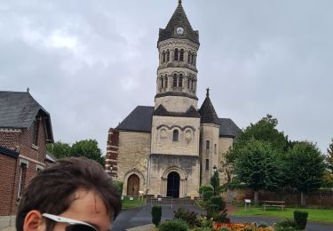
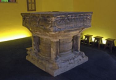
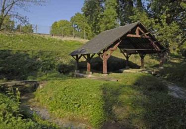
L'Omignon musarde entre Trefcon et Caulaincourt, avec son cortège d'étangs et de bois. Après les ruines de l'église Saint-Martin-des-Prés (voir les pierres tombales dans le cimetière), ce circuit tranquille et ombragé rejoint l'étang de Caulaincourt. Toutes les infos sont ICI

Stappen

Stappen
Stappen
Mountainbike
Stappen
Stappen

Stappen

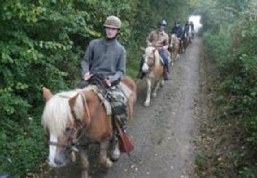
Huifkarwandeling
Stappen