


Roc Colom

tracegps
Gebruiker
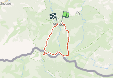

Lengte
19,4 km

Max. hoogte
2496 m

Positief hoogteverschil
1035 m
Km-Effort
34 km

Min. hoogte
1479 m

Negatief hoogteverschil
1228 m
Boucle
Neen
Datum van aanmaak :
2014-12-10 00:00:00.0
Laatste wijziging :
2014-12-10 00:00:00.0
4h30
Moeilijkheid : Moeilijk

Gratisgps-wandelapplicatie
 SityTrail
IGN / Geografische instituten
SityTrail Plus
De wereld gaat voor u open
Over ons
Tocht Stappen van 19,4 km beschikbaar op Occitanië, Pyrénées-Orientales, Py. Deze tocht wordt voorgesteld door tracegps.
Beschrijving
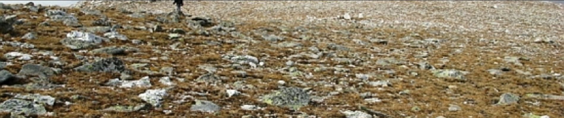
Association des Randonnées Sainte Marinoise. Longue boucle avec des bon coups de rein. Vue sur Canigou entre autres.
Foto's

Plaatsbepaling
Land:
France
Regio :
Occitanië
Departement/Provincie :
Pyrénées-Orientales
Gemeente :
Py
Locatie:
Unknown
Vertrek:(Dec)
Vertrek:(UTM)
443625 ; 4703416 (31T) N.
Opmerkingen
excellent